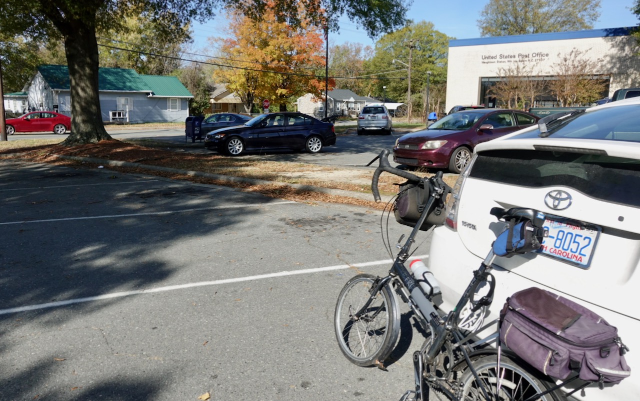
It was two days after Election Day and the Presidential race had still not been decided. Totally unrelated to politics I decided to drive over to Winston-Salem and just cycle around. Why not just start bicycling and see what I see? Winston-Salem is is my wife Tootie’s hometown and I have been coming here for almost forty years. Because of family obligations every time I had come here I had hardly left the family bubble to see what else was in town. On this daylong bike ride I made a concerted effort to bicycle through parts of town that I had never visited. It had taken me an hour and a half to drive from Chapel Hill to the Waughtown neighborhood of east Winston-Salem, an area I had never visited or even heard of. I parked outside the Waughtown branch post office. It was a post office, would anyone care if I park here for six hours?
Tootie, like everyone I have ever met from Winston-Salem, grew up west of downtown. There clearly is a divide between east Winston-Salem and the west. Suburban sprawl moves much further out on the west side than the east.
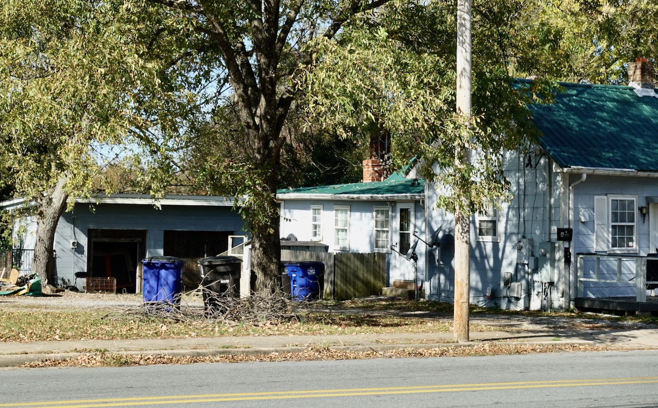
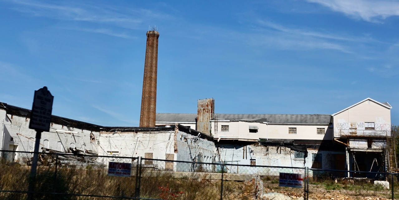
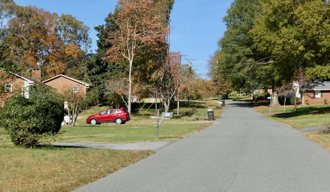
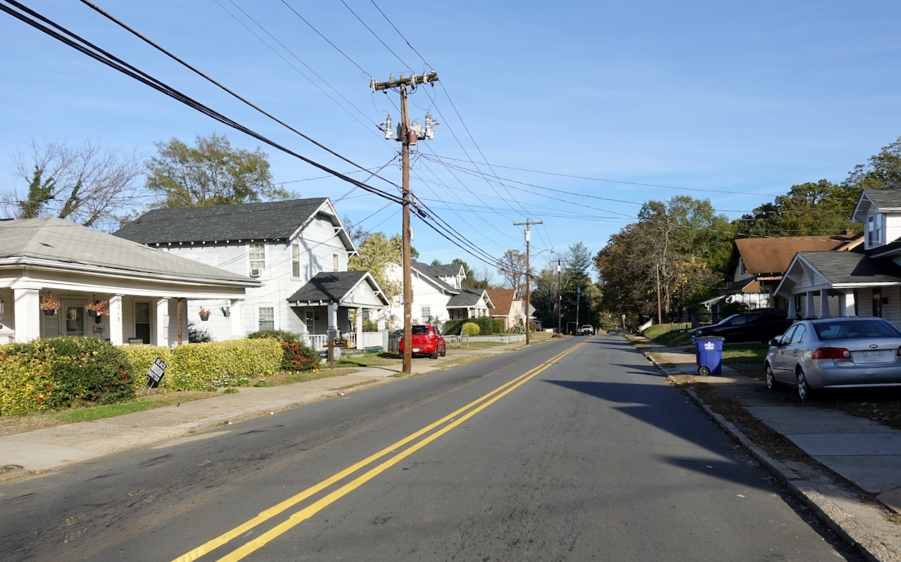
I bicycled through this east W-S neighborhood, passing small houses and an abandoned factory.
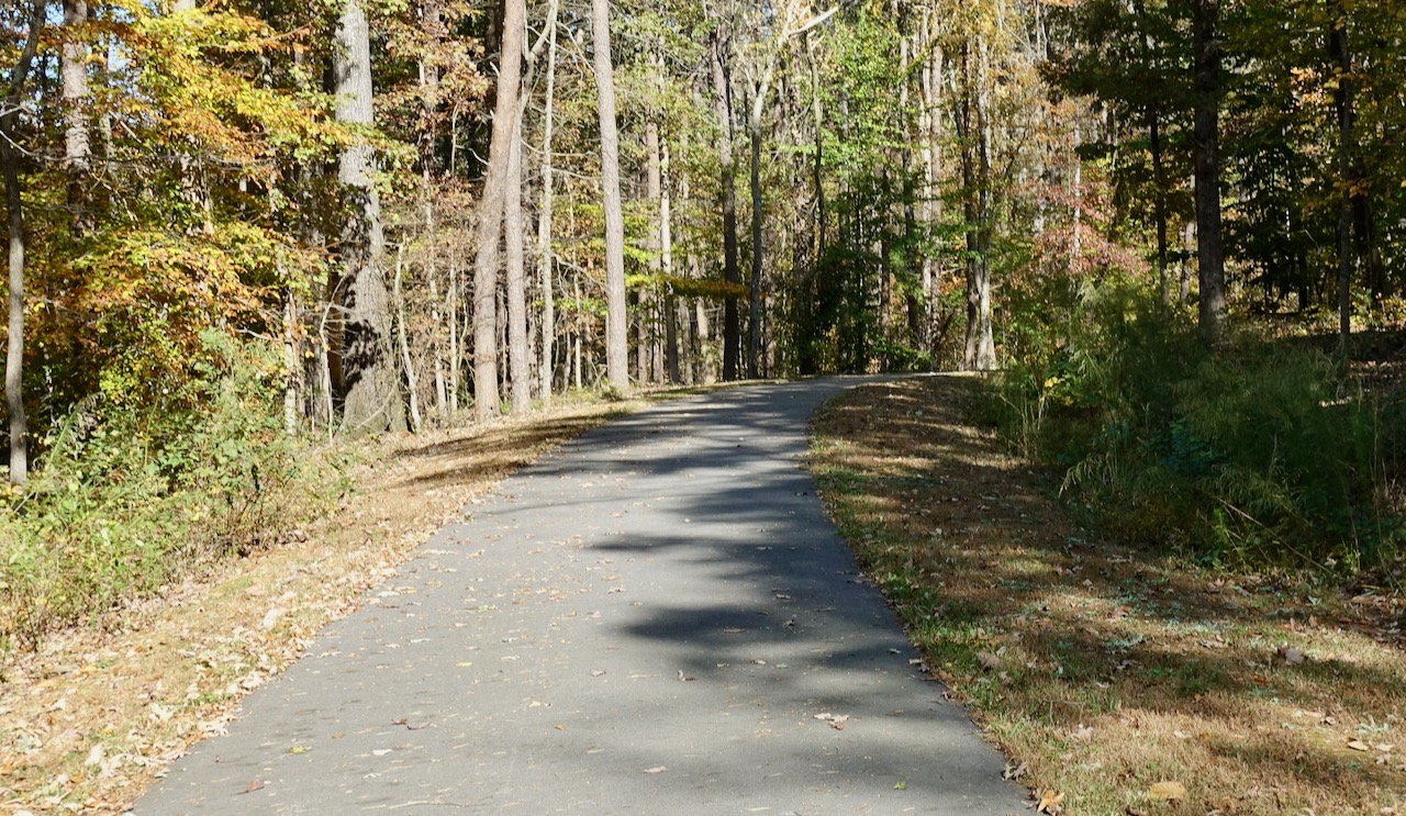
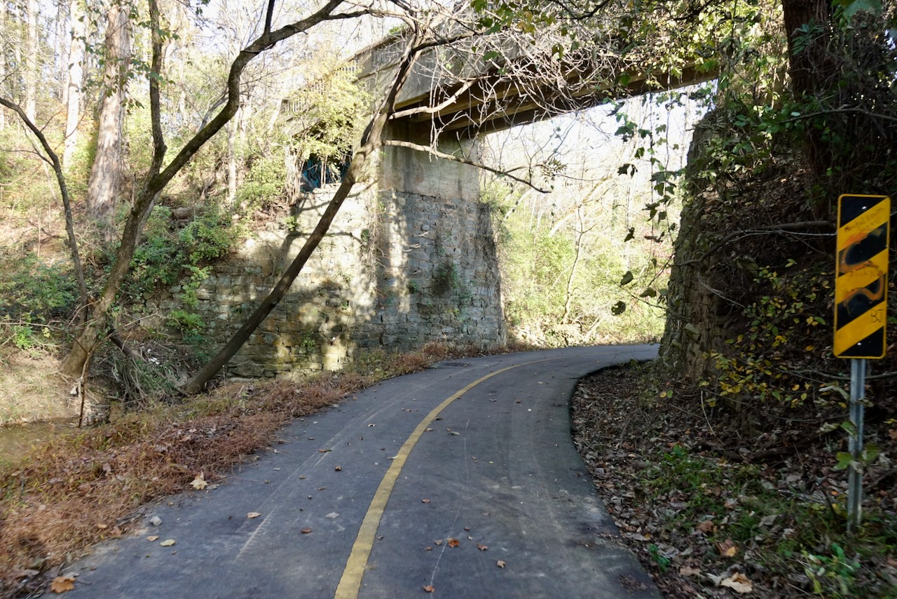
I had always thought that to grow up in Winston-Salem as a kid one would rarely ride a bicycle. It is just too damn hilly. Winston-Salem now has an impressive system of paved greenways that follow stream beds and floodplains. These greenways serve both the wealthier west and the poorer east. Because they are surrounded by steep hills these greenways only serve a small portion of the city and are more useful for exercise than for actually allowing someone to bicycle from place to place. I bicycled over to the greenway a few blocks from the Waughtown post office, then I bicycled through woods on a lovely fall day.
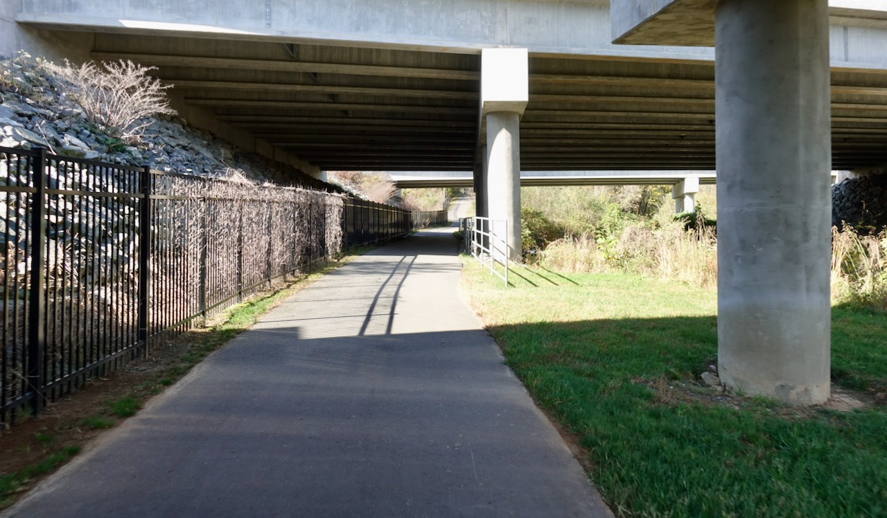
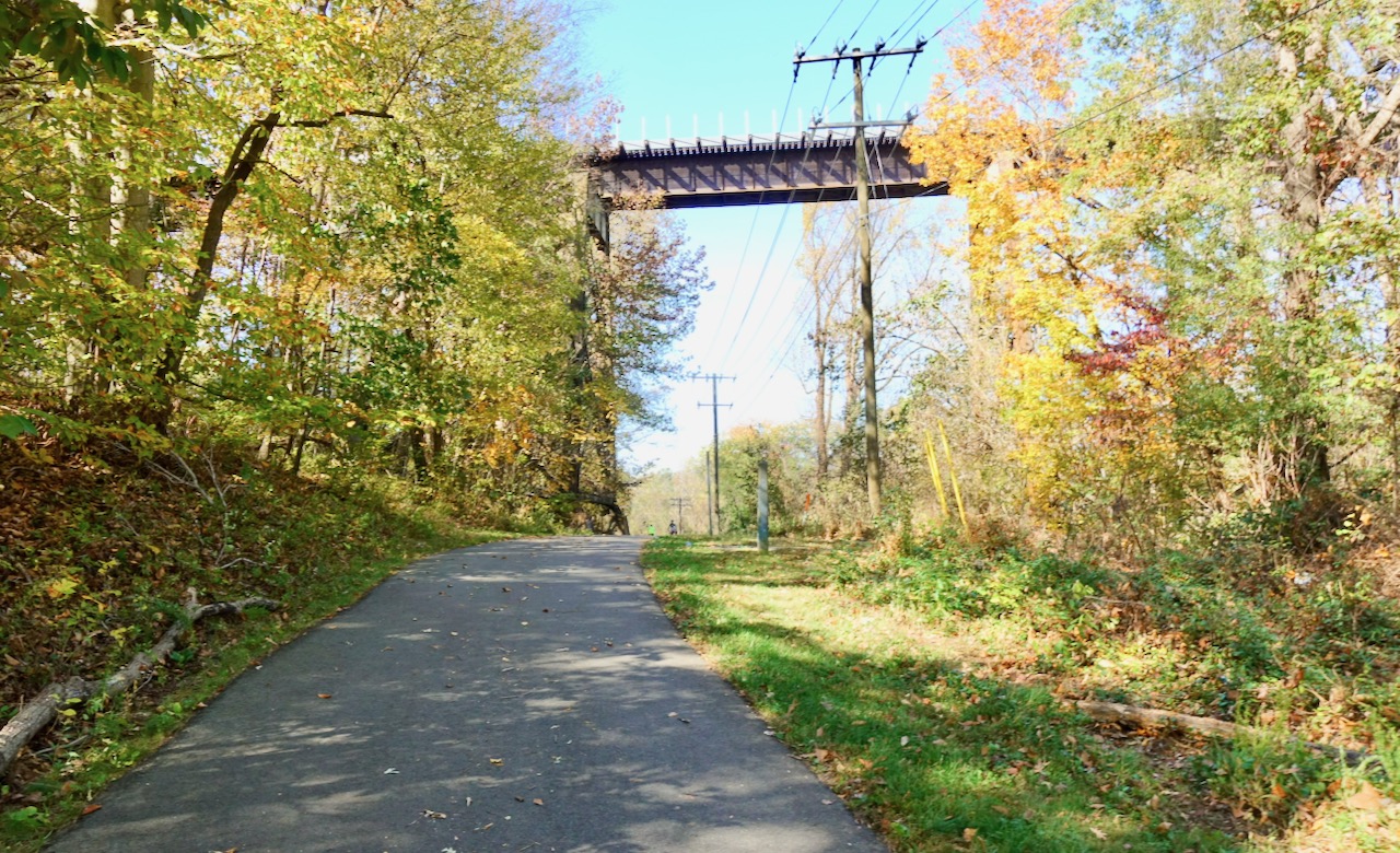
The greenway passed under freeways and a rail bridge.
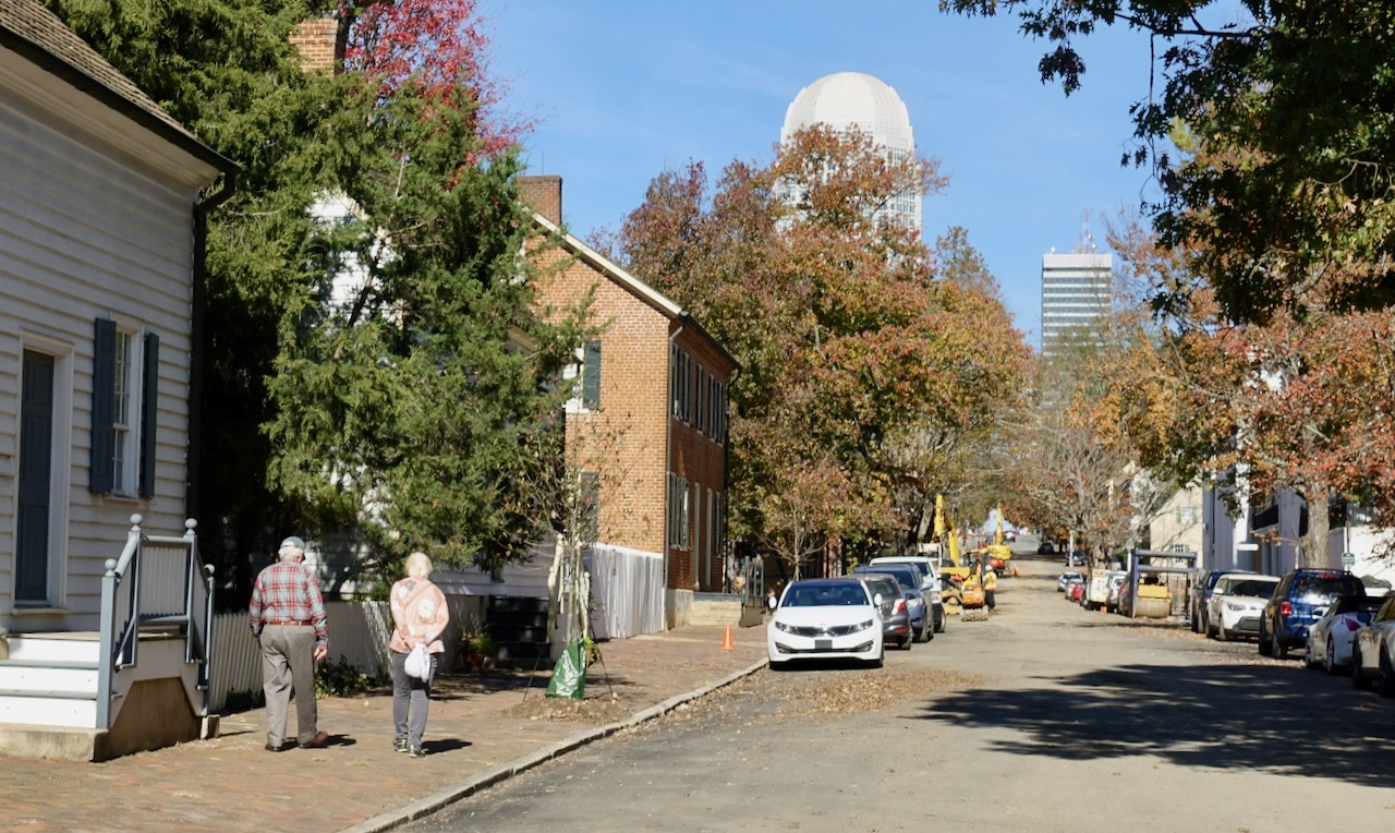
I cycled on the greenway the several miles that ended at the Old Salem neighborhood which sits just south of downtown. I turned north to cycle on city streets. The tallest building in town is thirty-three stories; a postmodern design by famous architect Cesar Pelli. I once heard a local refer to it as The Penis.
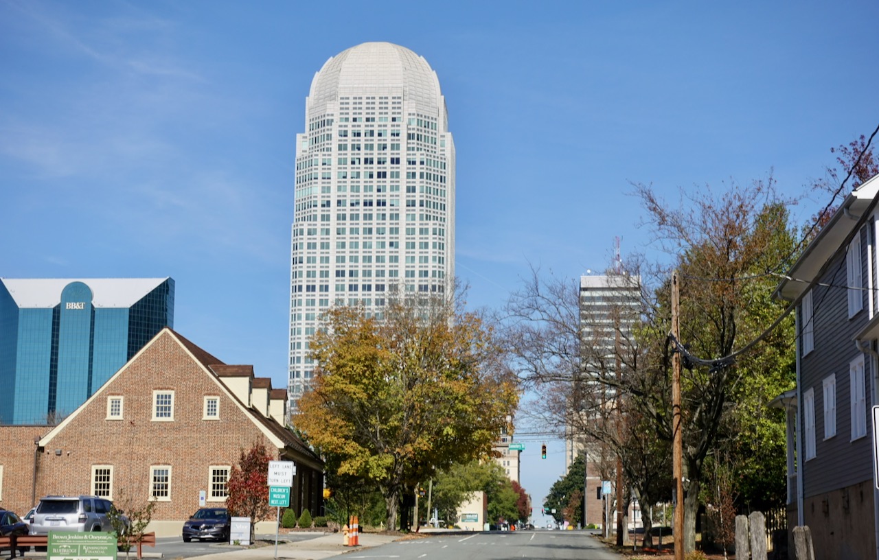
The Penis was built in 1995 as the headquarters of hometown hero Wachovia Bank, an arrangement that only lasted for six years. In 2001 Wachovia merged with First Union and they moved their headquarters to Charlotte.
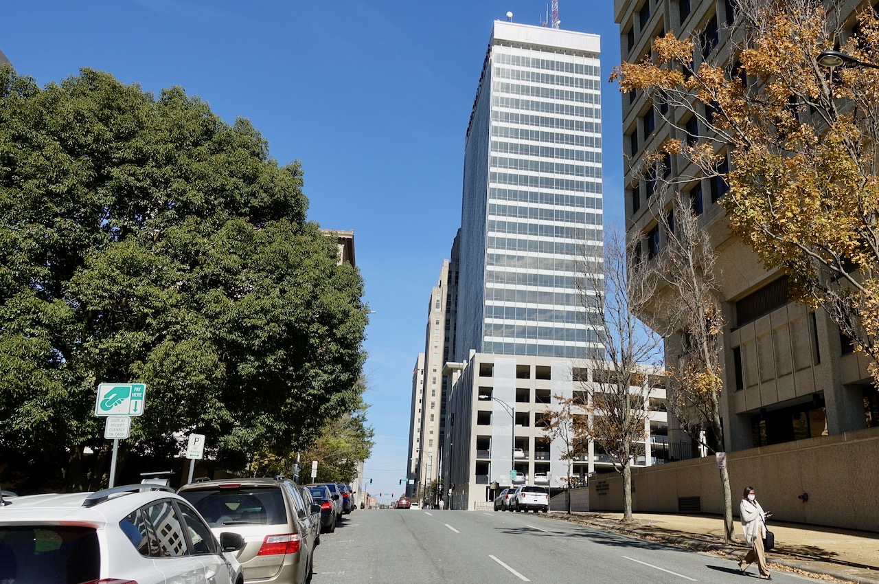
I bicycled around other tall buildings. Here is the twenty-nine story previous Wachovia headquarters now called Winston Tower. It was the tallest building in North Carolina when built in 1966.
The Nissen Building, from 1927.
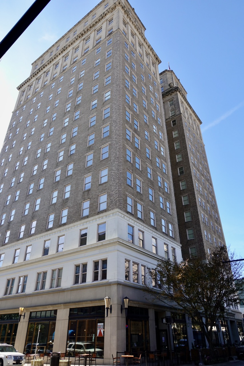
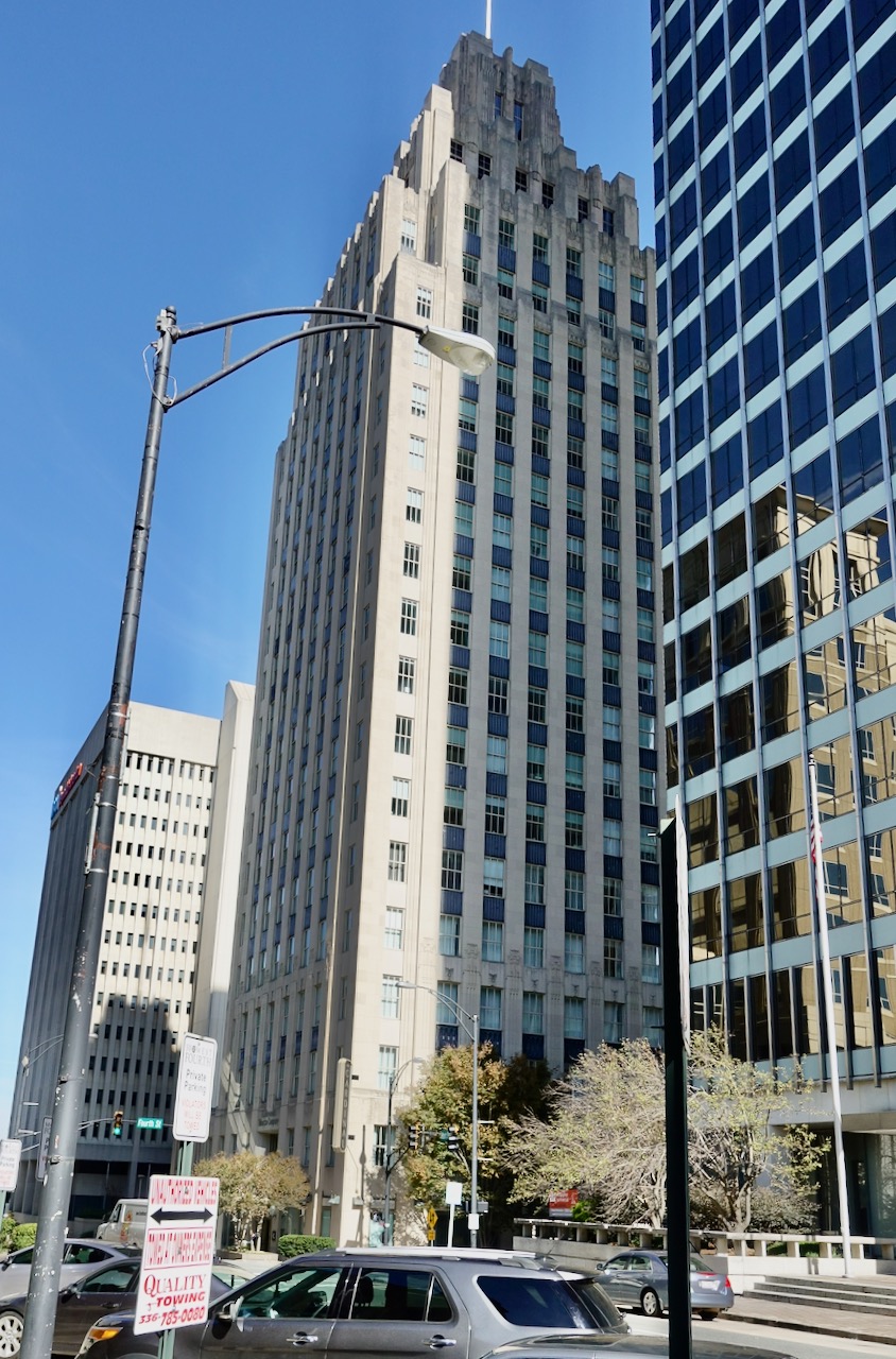
The first Reynolds building, Art Deco from 1929.
I turned west and cycled down Fourth Street, then First Street.

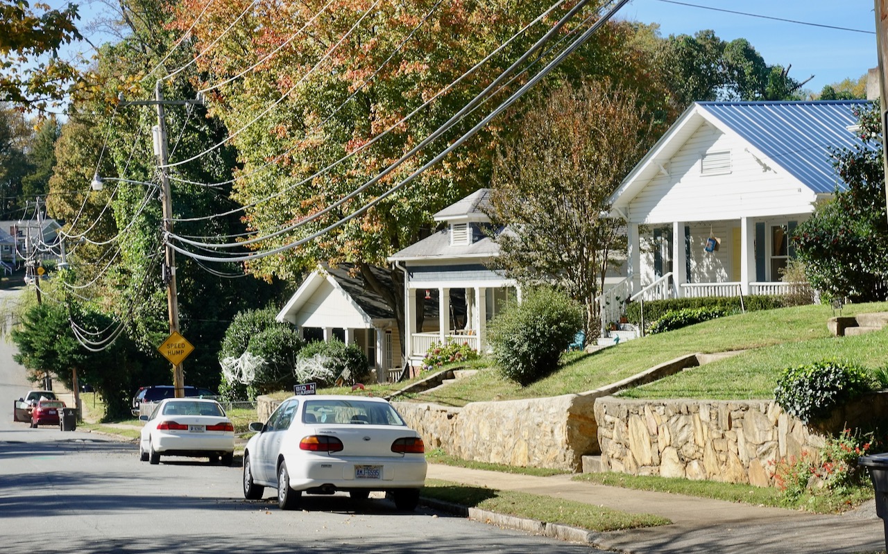
Just few blocks west of the traditional downtown is a hilly neighborhood of large circa 1900 houses clinging to the side of a hill; this is Winston-Salem’s first rich people neighborhood, West End. I whizzed down a steep hill on the edge of West End as I looked for Country Club Road that would take me further west. Meanwhile this more middle class neighborhood was off to the left.
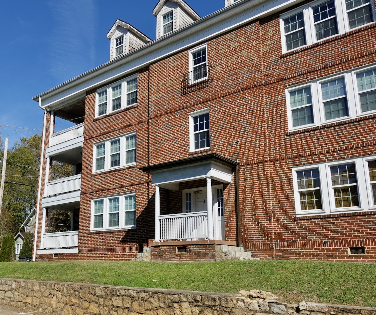
This early 20th century apartment building was on the right. It would look better if they had kept the original windows.
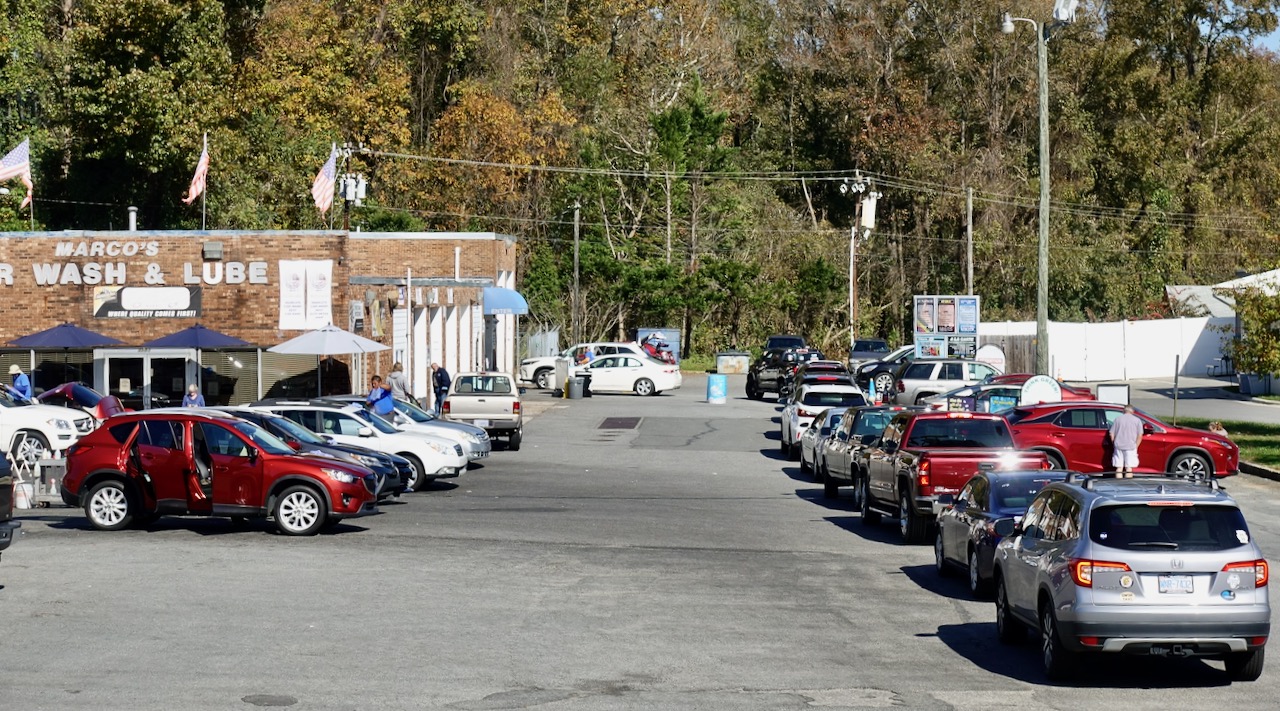
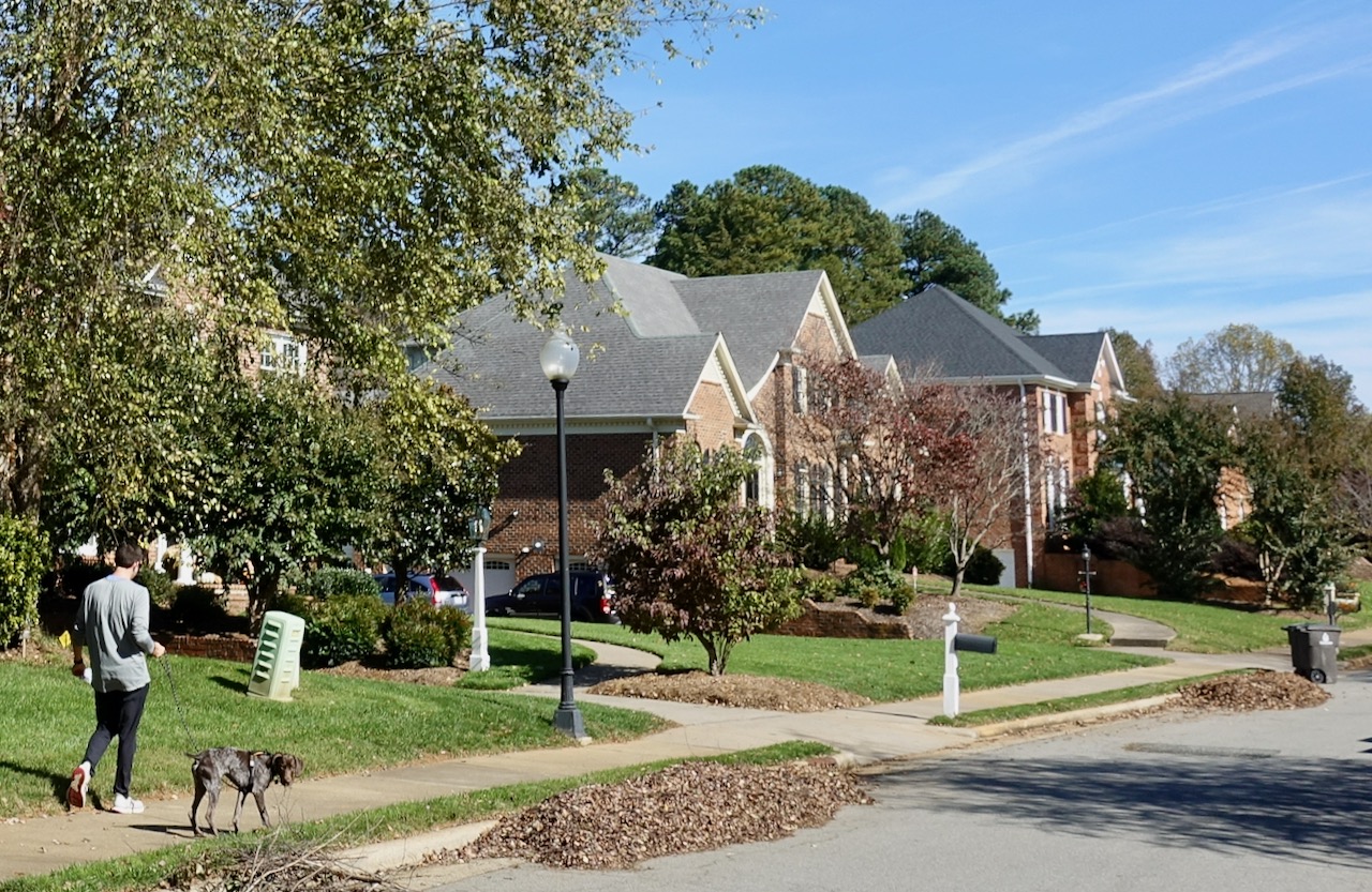
I cycled west on Country Club Road, bicycling by, well, the Forsyth Country Club. It is almost ten miles west from downtown to my intermediate destination, the Muddy Creek greenway. There were miles and miles of post WWII suburban brick houses. Country Club Road was pleasant to cycle as long as it was two-lane-with-a-central-turning-lane. Soon Country Club Road became four lane and felt dangerous to cycle, about the time I passed this car wash. What am I missing; what is so urgent that all these people wait in line to get a car wash?
I found residential streets to cycle on.
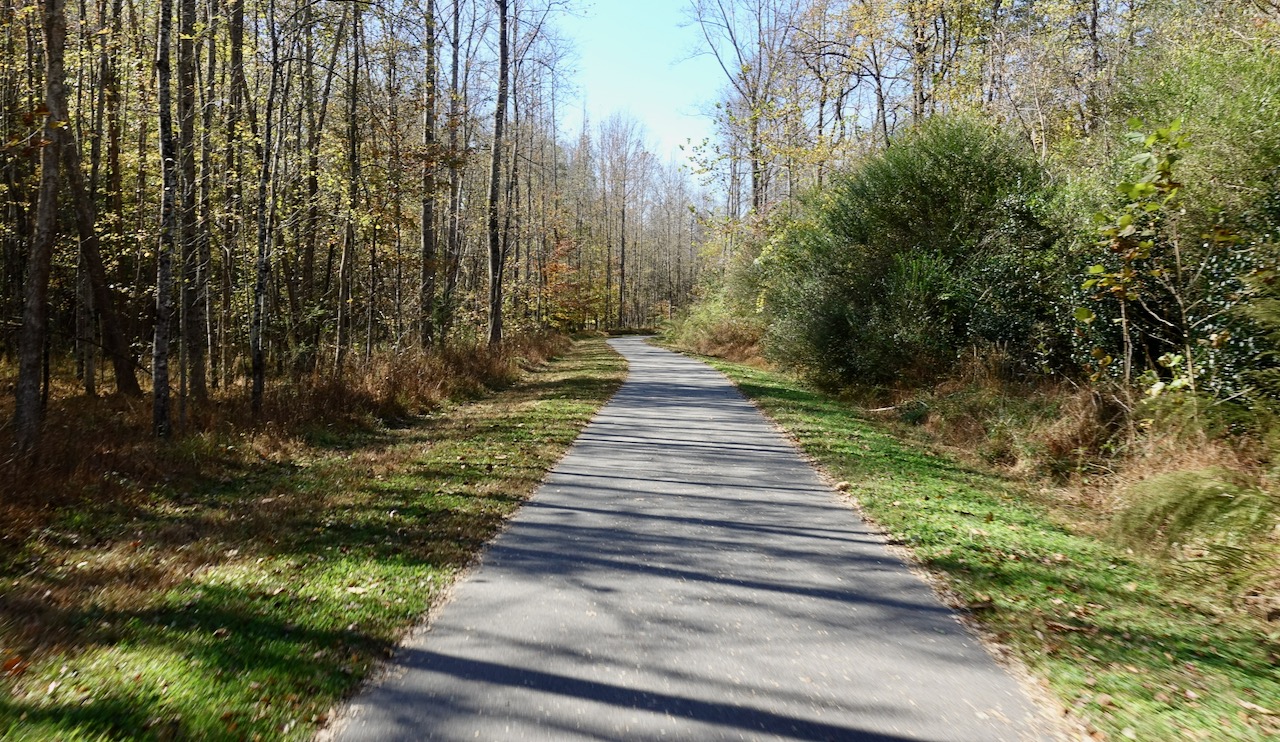
In the middle of the upscale Cedar Trail neighborhood pictured above I located a short connector to the north-south Muddy Creek Greenway. I turned to a relaxing cycle on the paved path.
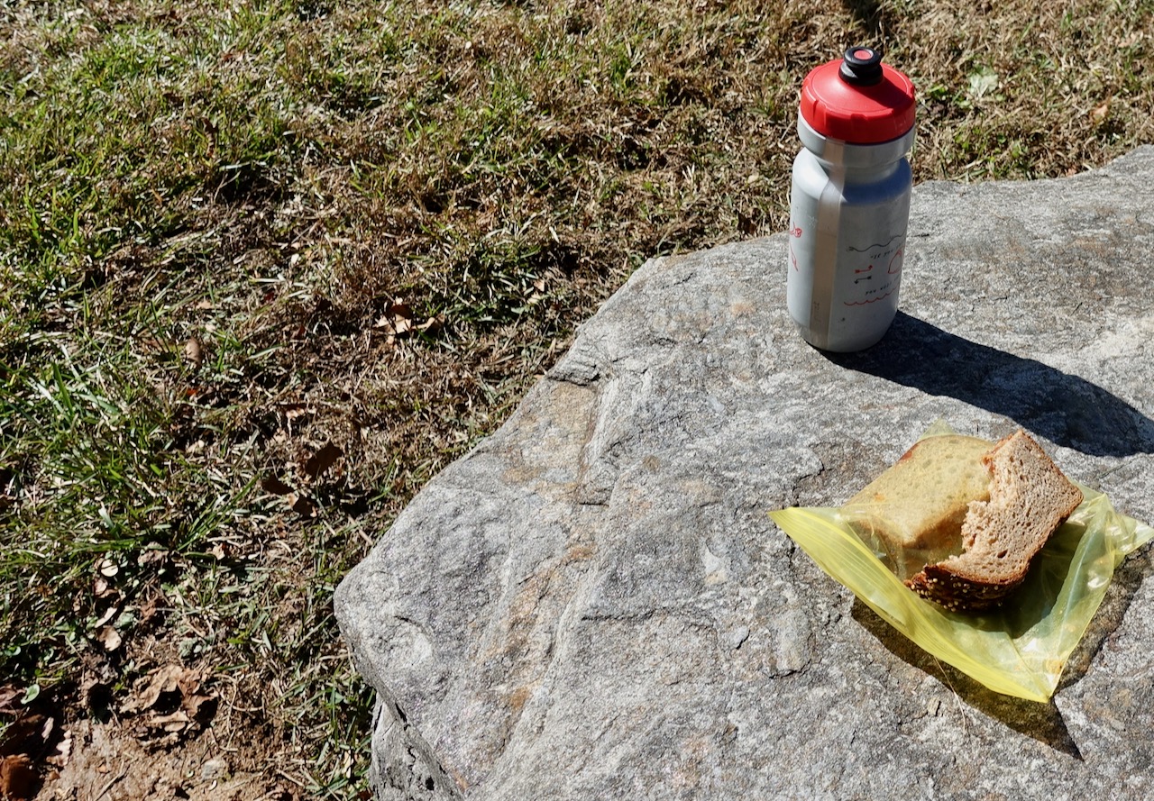
It was lunchtime. Almost immediately I came upon a set of rocks that seemed hospitable. I sat down to eat Weaver Street Market bread with peanut butter and jelly. One of the discoveries I have made during this pandemic is that bringing one’s own picnic is usually better quality (and cheaper) than any food you could have bought along the way.
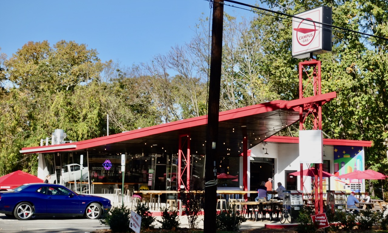
The greenway is about three miles long, running south to north. When the trail ended I turned back east, first onto streets that led me to Robinhood Road, then Milhaven Road and finally Polo Road. Polo Road stretches across the north side of metro Winston-Salem. Several miles directly north of downtown Winston-Salem sits Wake Forest University. I found a pleasant coffee house in a former gas station on Polo Road just north of the university. I stopped for an almond milk latte. I sat peacefully for quite a while, reading. I was a sunny afternoon.
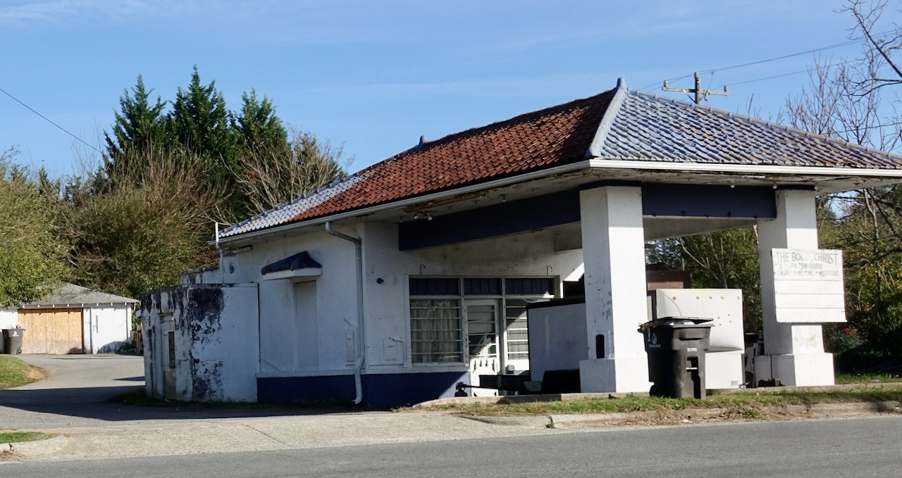
Refreshed and relaxed, I got back on the bicycle and continued cycling east. The scenery changes dramatically in the mile or two after Polo Road leaves the University area. Before, most of the buildings were suburban, brick, and prosperous looking. The landscape had really spoken of country clubs. Relatively quickly I crossed several sets of railroad tracks and the freeway US-52.
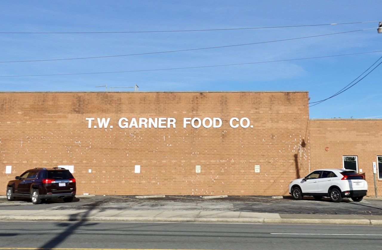
The area looked more industrial and lower income. This included a pre-WWII gas station with a faded sign advertising itself as a church.
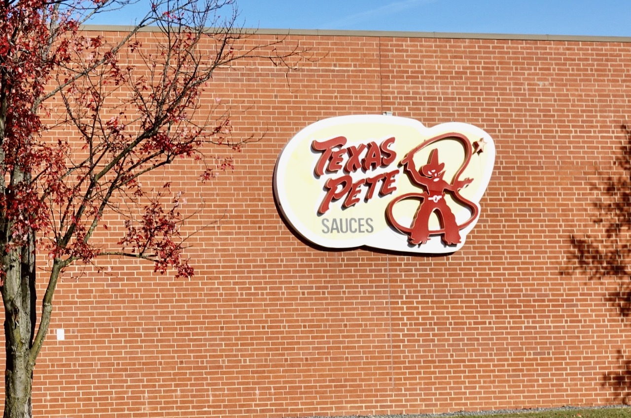
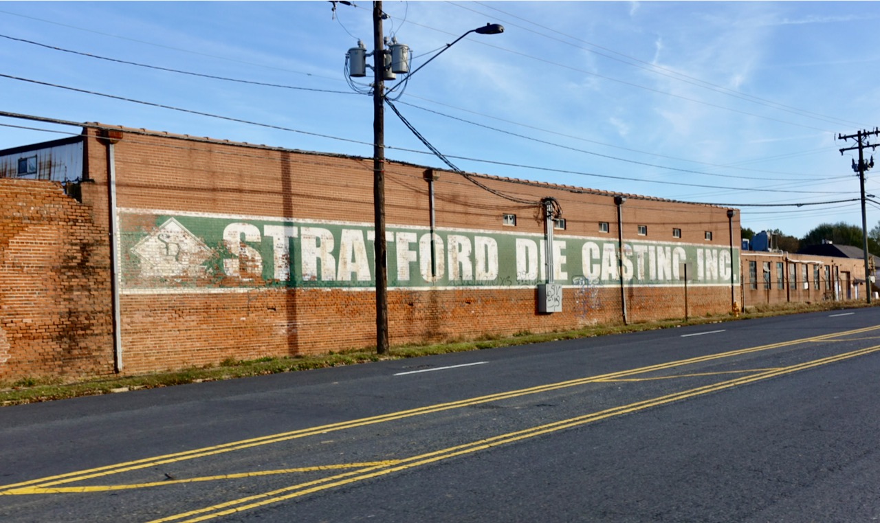
Texas Pete! North Carolina barbecue, in its classic sense, is frequently garnished with Texas Pete, a red vinegar hot sauce slightly less intense than Tabasco. Texas Pete has nothing to do with Texas other than its name. It comes from Winston-Salem NC and I was thrilled to stumble upon the surprisingly small building where it is made.
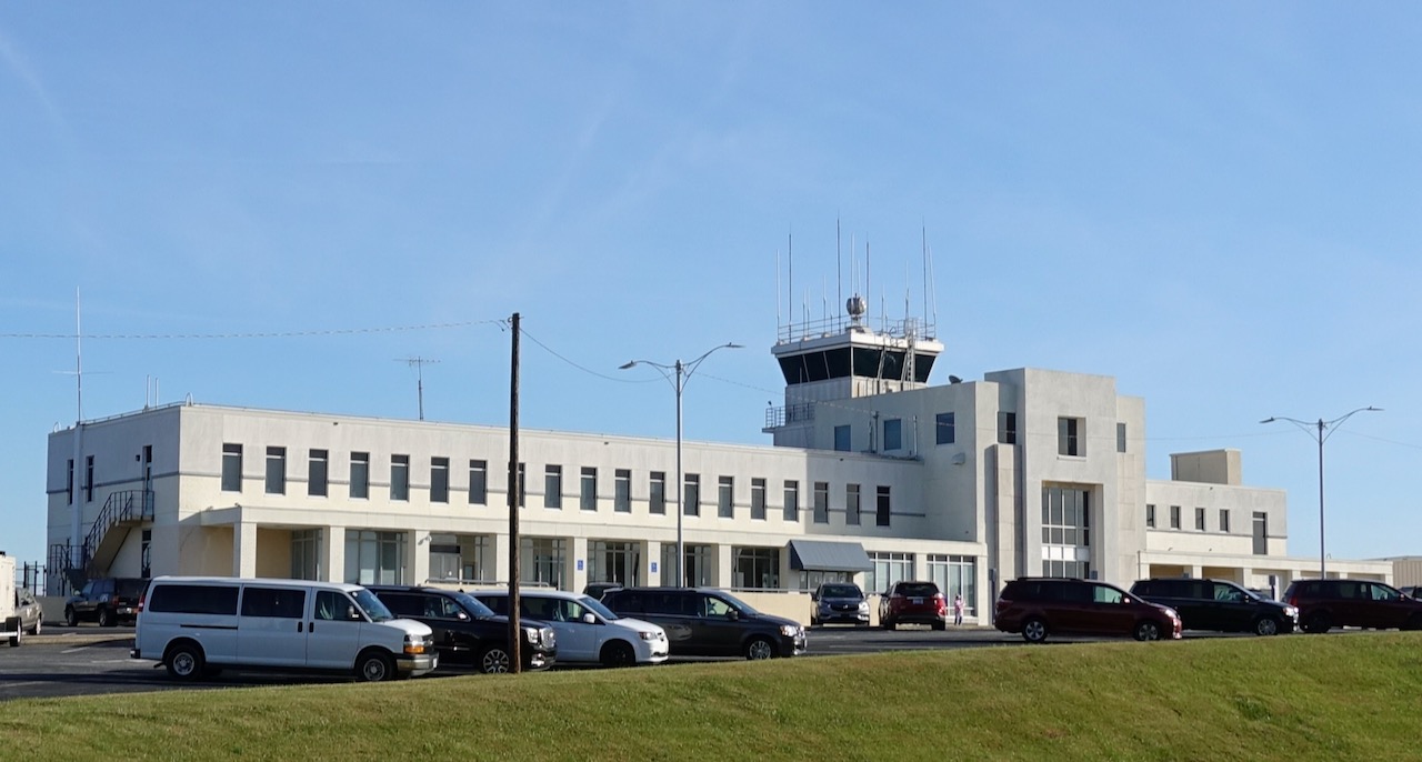
Smith Reynolds Airport is just northeast of downtown Winston-Salem. It was the birthplace of Piedmont Airlines, which later merged into USAir and then American Airlines. Smith Reynolds Airport had had scheduled commercial airline service until the year 2000. Travelers from the Winston-Salem area now have to drive to airports in either Greensboro or Charlotte. Smith Reynolds Airport continues to serve general aviation and is named after the troubled heir to the R.J. Reynolds fortune who was an aviation enthusiast. He was fatally shot in 1932 at age 21 in a drunken party at his Winston-Salem estate. No one was ever charged; many claim the family hushed up the whole affair. (Factoid: my father told me he sat next to Smith Reynolds in French class at the boarding school Woodberry Forest, class of 1930!).
The airport terminal is very old-school compared to modern airports.
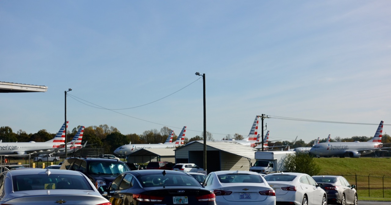
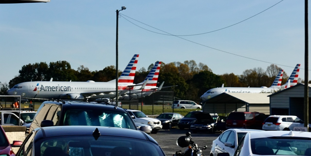
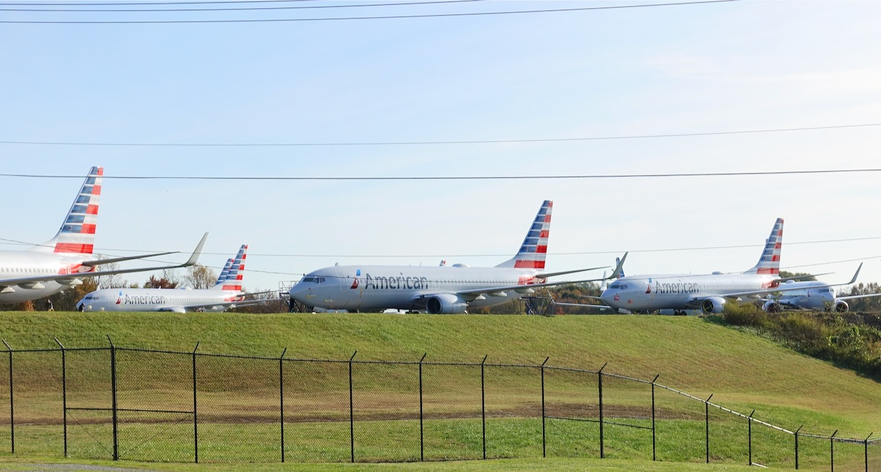
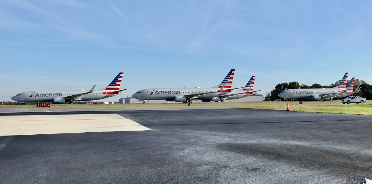
I was startled to see that American Airlines has chosen this airport to store dozens of bright new huge Boeing 737’s. I do not know if this storage is because of the pandemic or because of the safety grounding of the model 737 MAX. I biked around in circles, trying to find the best spot to get a good photograph.
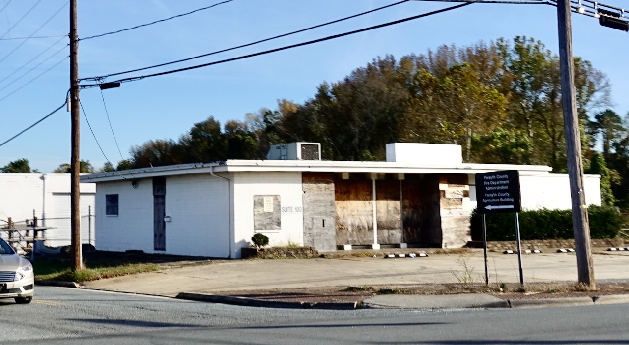
I turned the bicycle away from the airport, riding south on North Liberty Street, passing this boarded up piece of modernism.
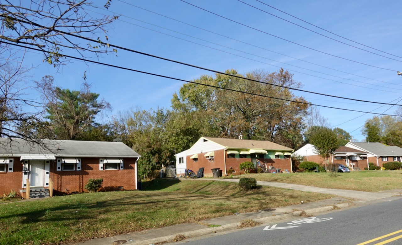
East Winston-Salem looks physically so very different than the country club look of the west side of town.
There was a historic sign marking the significance of a group of houses. The sign noted that Bowen Park, built about 1952, was the first suburban housing development of Winston-Salem built specifically for African Americans.
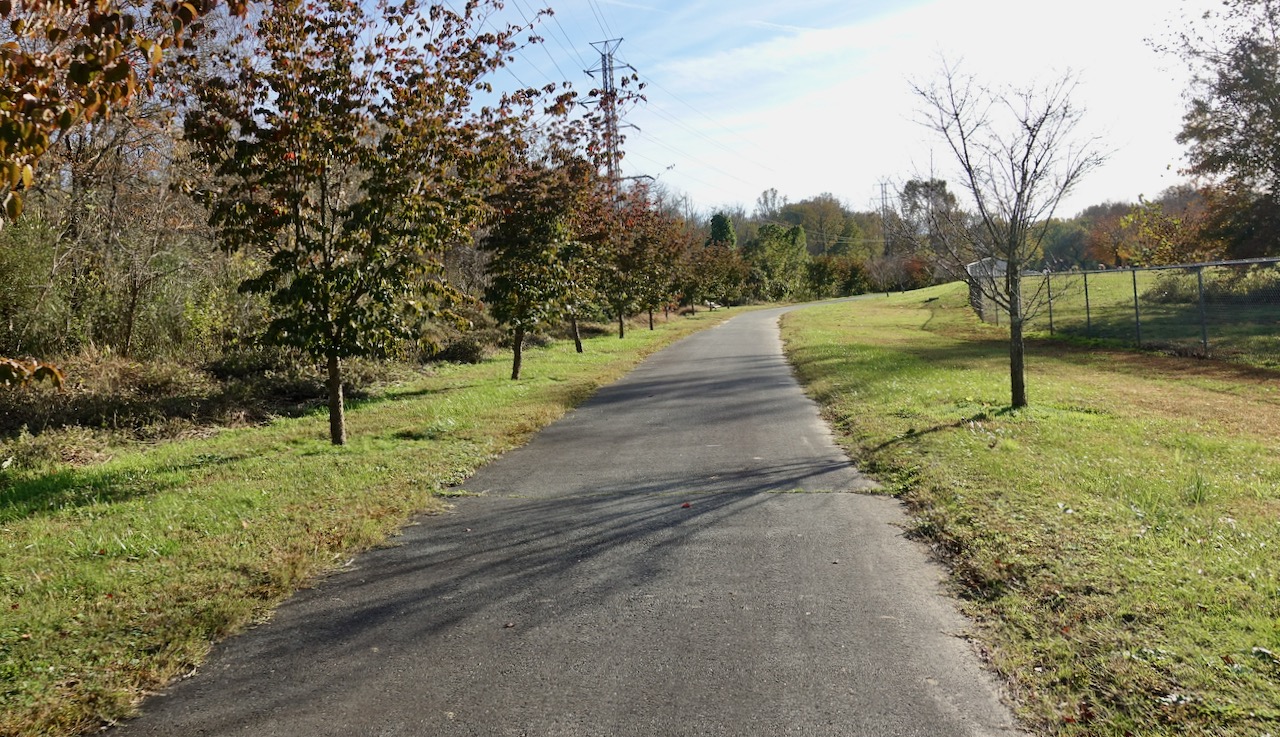
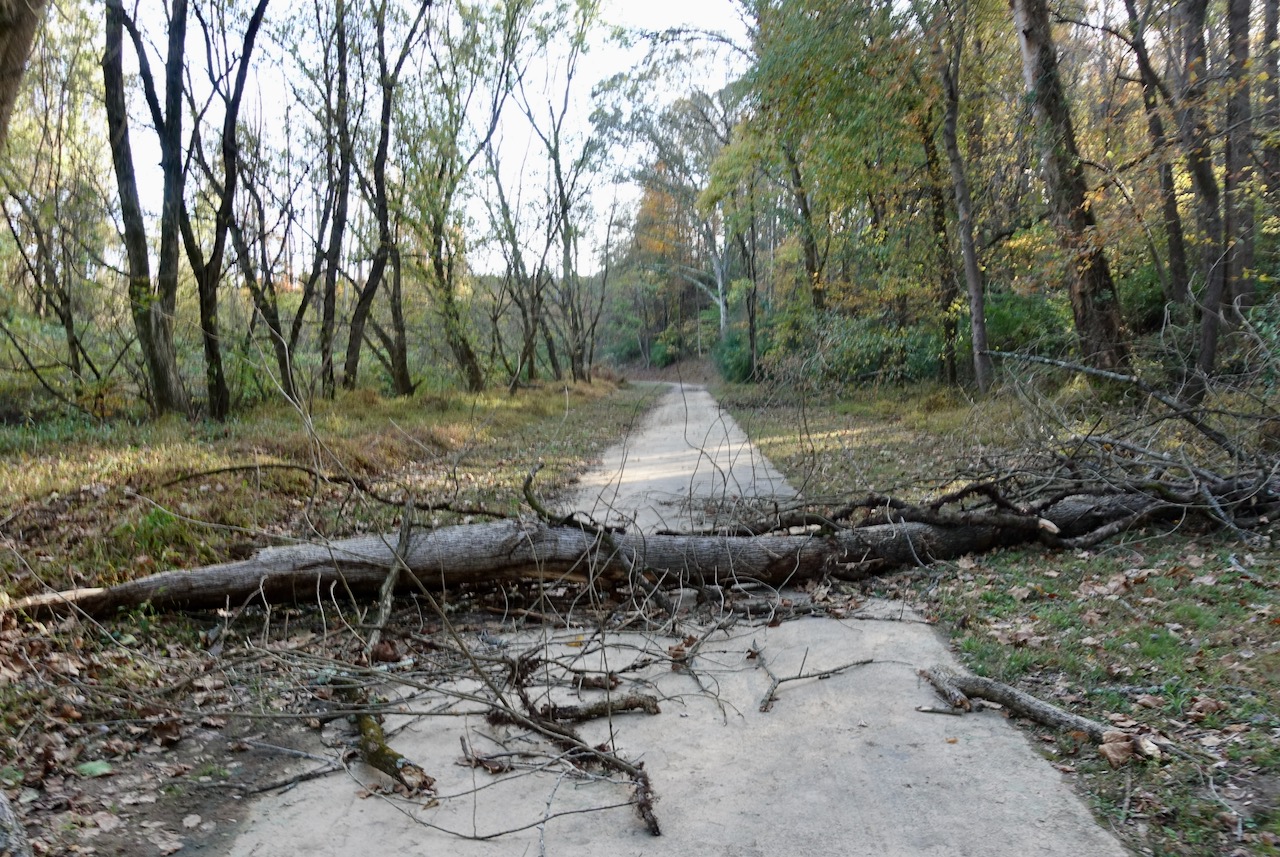
I found the greenway that would lead me under the US-421 freeway and back to my car parked at the Waughtown post office. These east side greenways are generally well maintained although in some places it feels as if they are rarely used. At one point I had to step over an obstruction.
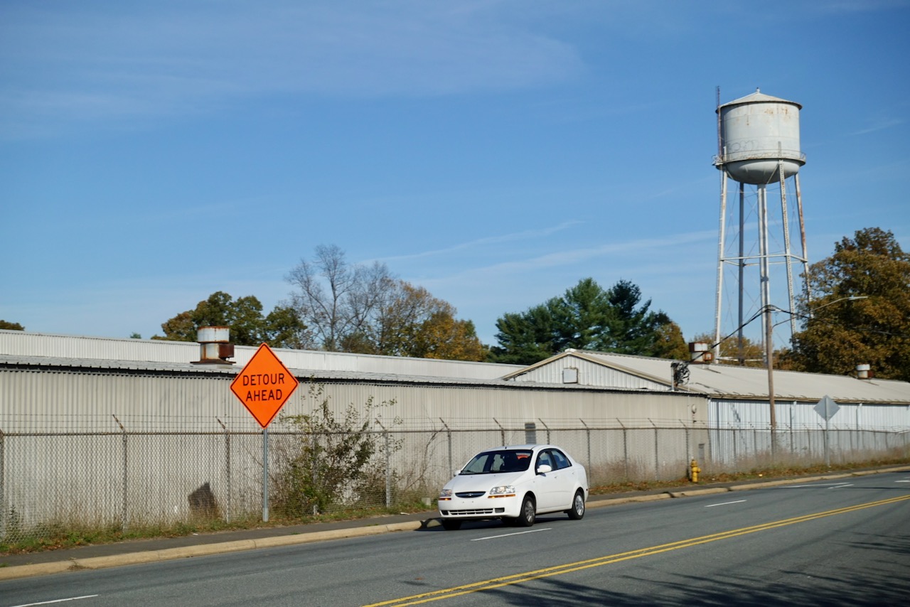
I bicycled through an industrial area north of Waughtown.
I found my car. I loaded the bicycle in the back and drove the hour and a half back to Chapel Hill.

Leave a comment