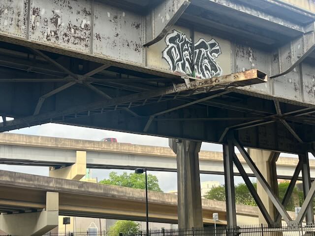
Our condo is in New Orleans’ Lower Garden District. Fifteen minute’s walk towards downtown is an area I will call “Almost Under The Bridge” which I have been taking photos of for more than a year, trying to capture the intensity of walking or cycling through streets where an elevated highway plows through a historic city.
“The constant roar is almost soothing”. Tootie said; “as long as you don’t have to live next to it.”
Apparently some people do live quite close to the noise, but not us. Back at our condo eight blocks away we can’t hear anything.
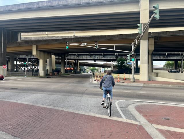
We both cycle under the highway all the time.
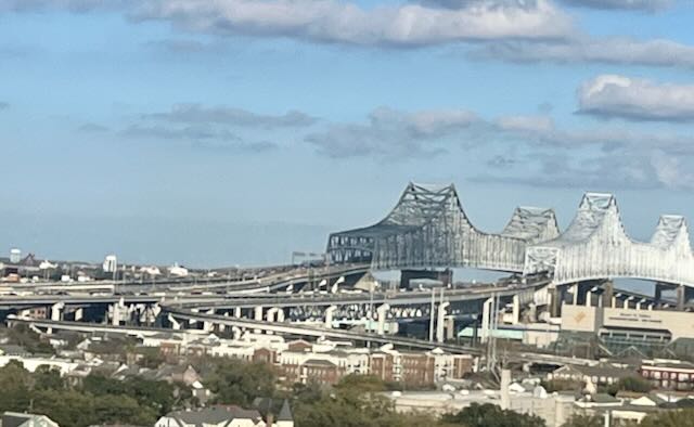
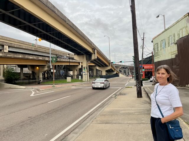
That elevated freeway is the lead-up to the Crescent City Connection bridges, seen below from the rooftop bar of the Ponchartrain Hotel. The initial freeway and bridge opened in 1958.
Almost Under the Bridge is greyed-in on the map below
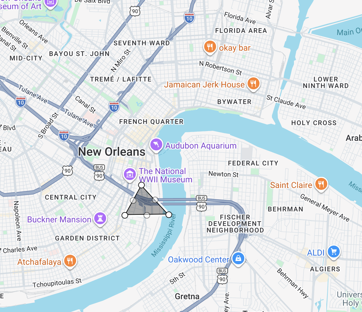
A closeup.
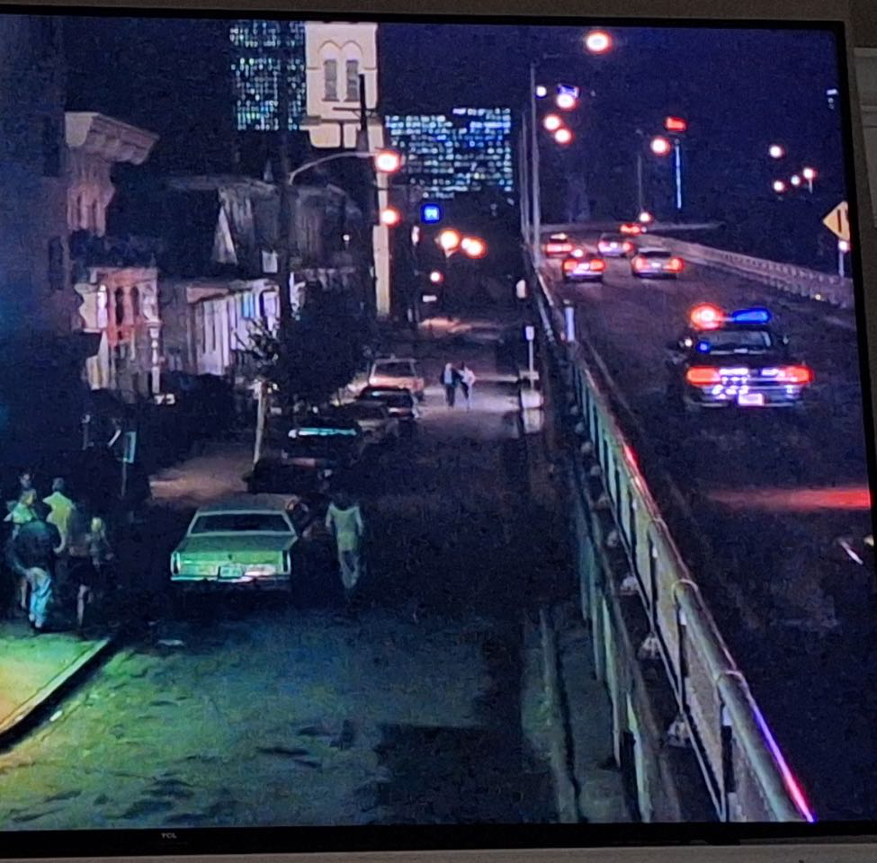
The Almost Under The Bridge area has recently been thriving in its urbanity. A key reason may be the 1994 removal of the Camp Street ramp. A pre-removal photo is shown below. Trucks accessing the bridge backed up into the neighborhood. In solving this problem the state did not tear down an entire freeway, they just re-routed the access ramp so it loops under the bridge.
This is what that same stretch of Camp Street looks thirty years later. It’s now peaceful and trees have replaced concrete and steel.
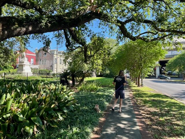
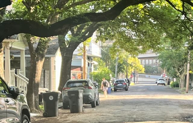
Four or five days a week we walk our dog Rosie down the path on the right side of the photo above.
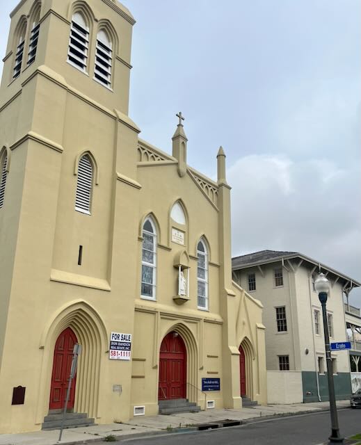
Let’s check out Almost Under the Bridge! All the following photos are taken within a block or two of that loud highway. We pass St Theresa church, built in 1848. There are likely more Catholic churches in this area than there is demand and this one sadly closed about a year ago and is for sale.
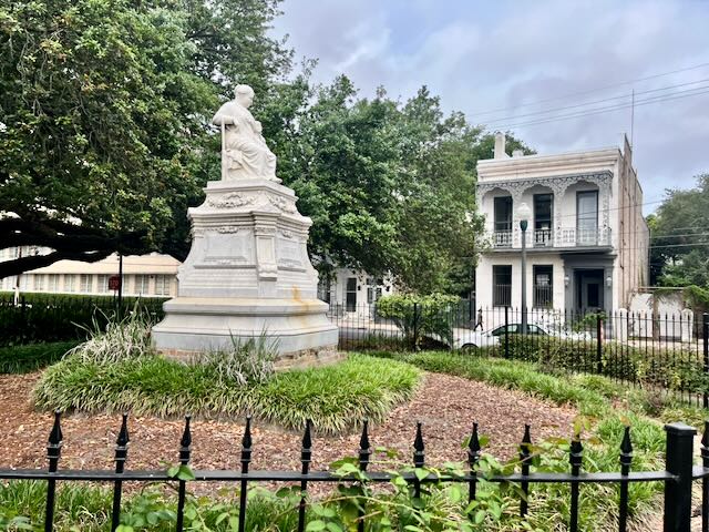
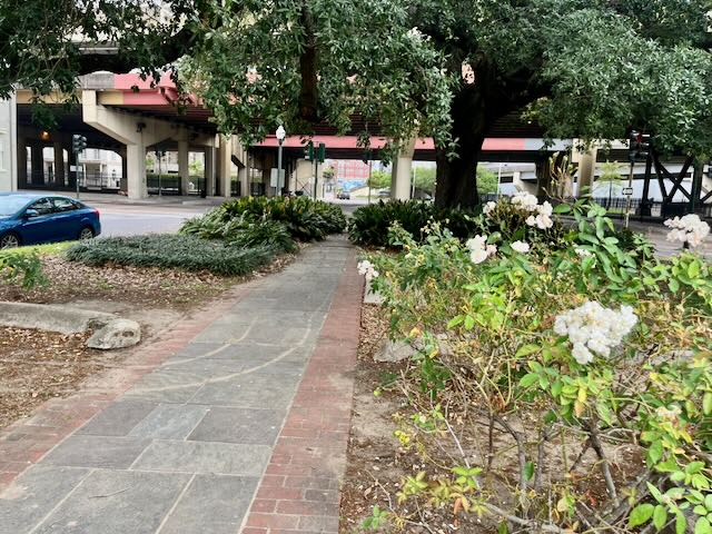
Just beyond the church, as if proudly confronting the roar of the freeway, is a statue of the nineteenth century philanthropist “Mother of the Orphans” Margaret Haughery.
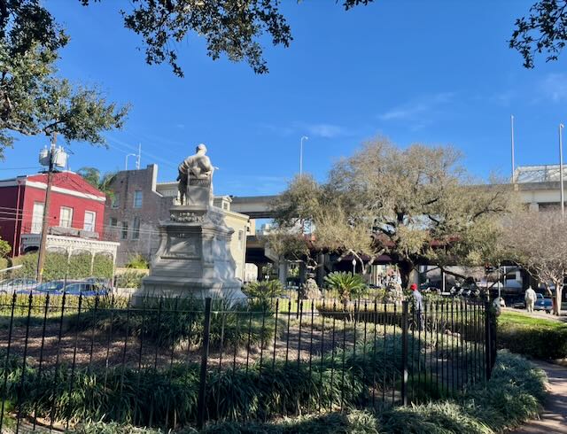
Her statue obviously came before the highway was built. Margaret Place Park stands defiantly well maintained, clean and trimmed. I am not sure who keeps the homeless from camping here but it is usually clear.
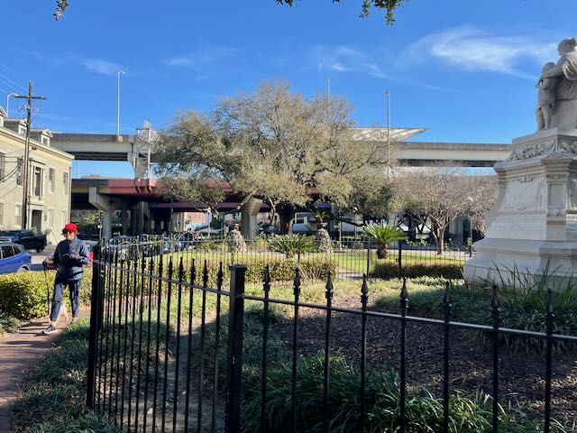
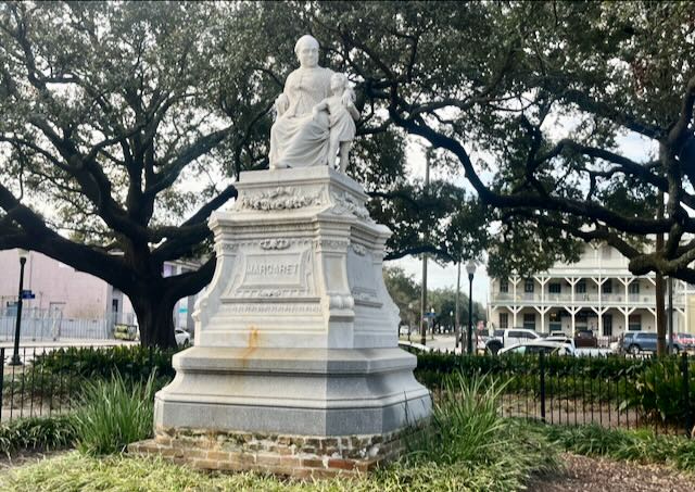
Margaret stares at a garden from her perch, to the roar of the interstate.
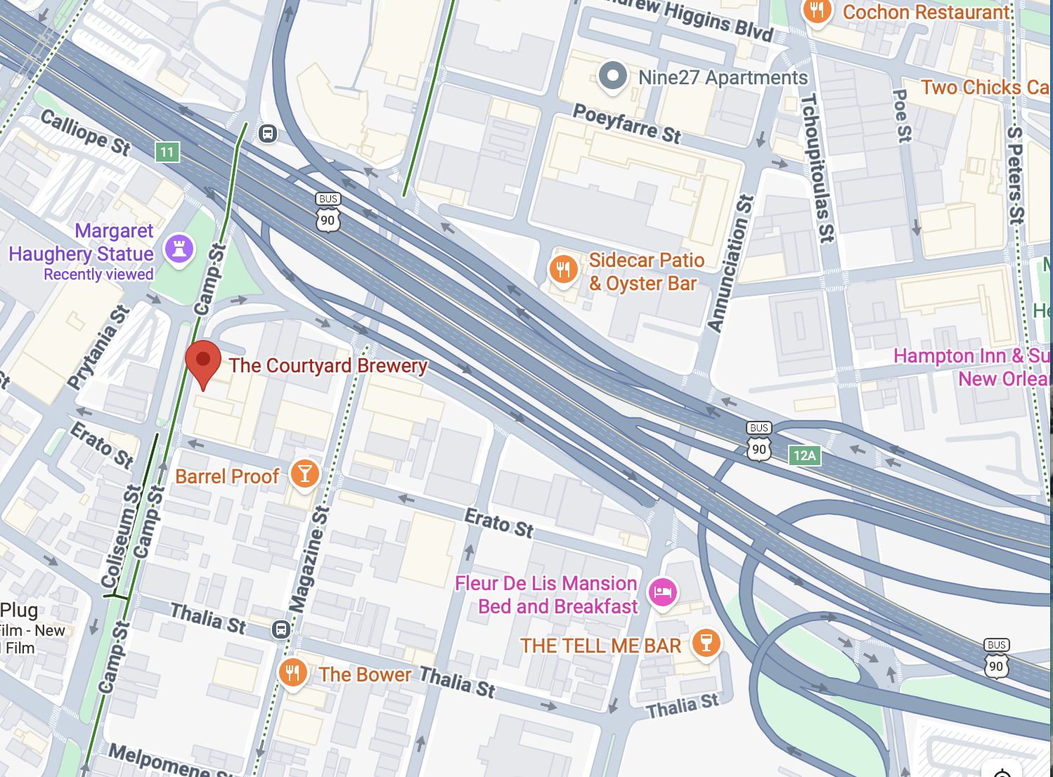
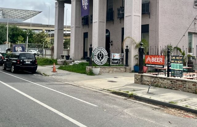
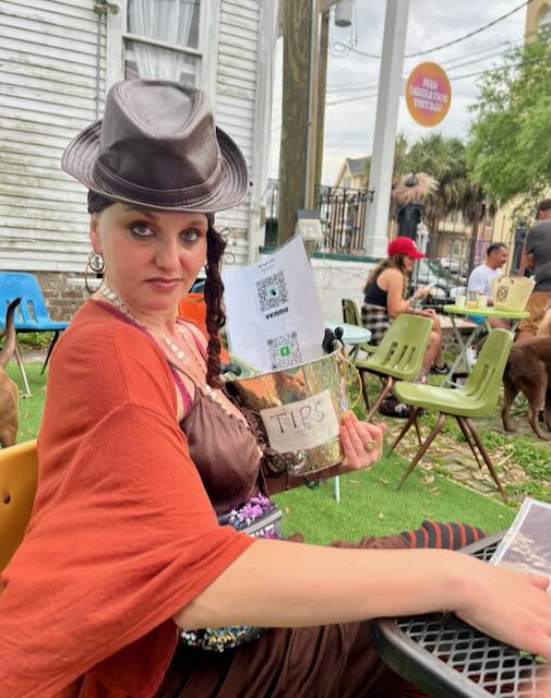
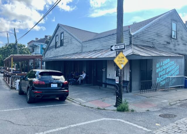
Across Camp Street from the Margaret statue is Courtyard Brewery; Tootie and my favorite spot for a beer while sitting in plastic chairs.
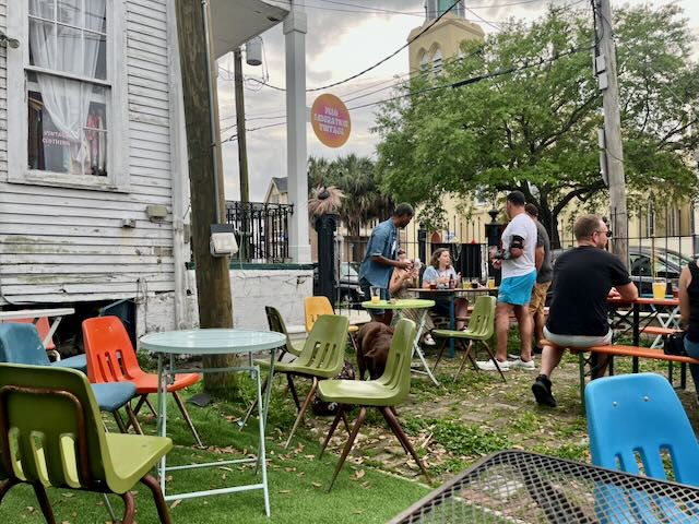
They occasionally have free live entertainment. One evening Sariyah Idan was a solo performer, voice and guitar.,
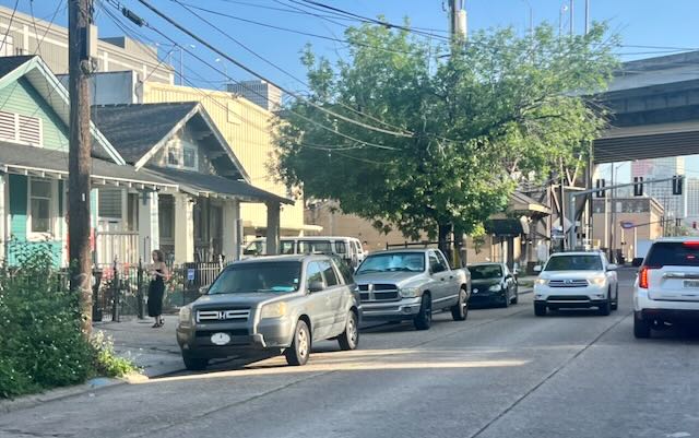
Tootie cycles underneath the highway on Magazine Street as we continued to explore the Uptown side.
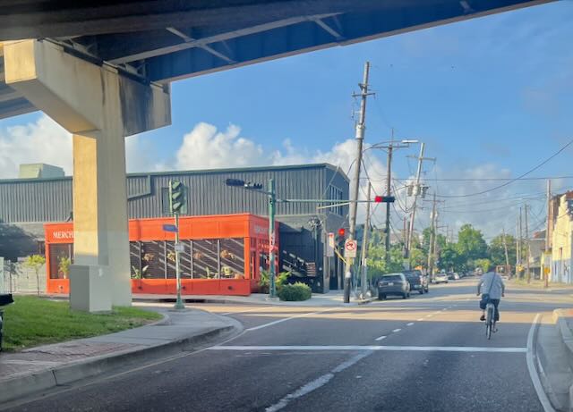
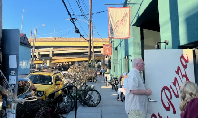
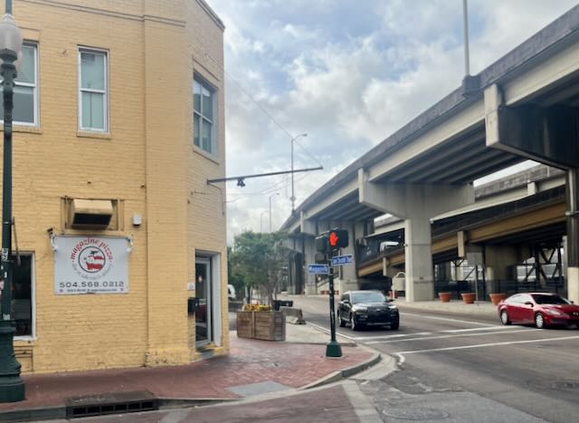
The New York Times recently included on their list of the fifty best pizza restaurants in America the less than three year old St. Pizza which sits next to the bridge intensity. There is an adjoining wine bar Patron Saint.
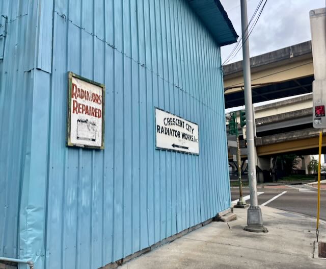
Across the street a lovely circa 1840’s townhouse sits next door to a radiator shop. The highway bridge is on the far right and a billboard for those freeway motorists rises up in the sky.
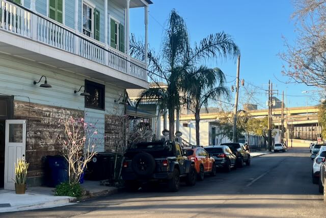
Across the street we occasionally get cocktails at Barrel Proof. It used to have a more descriptive name: The Bridge Bar.
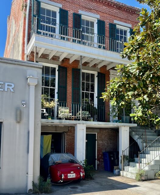
On the same the block I have been passing for more than a year this 1959 “bugeye” Austin-Healy Sprite which is half covered in a tarp and sticking out of a brick nineteenth century townhouse. The car is almost as small as a go-cart.
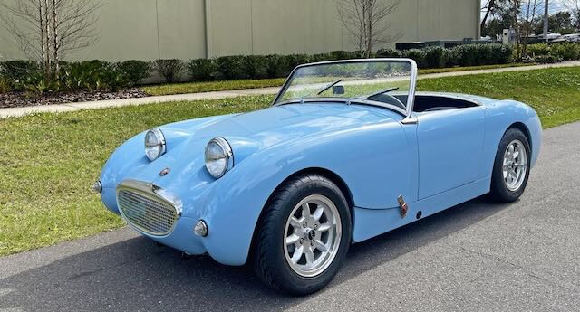
An internet photo of a restored version.
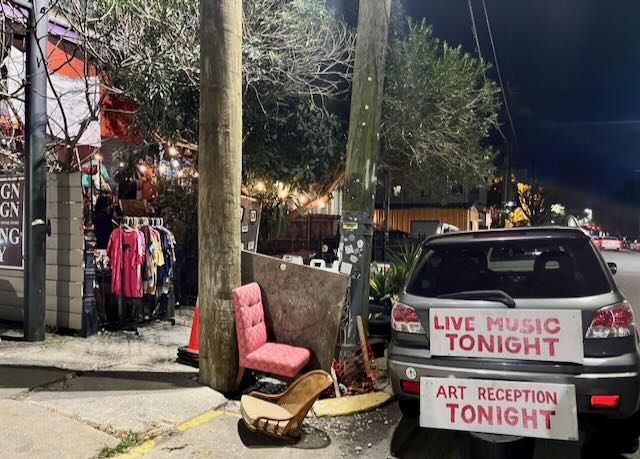
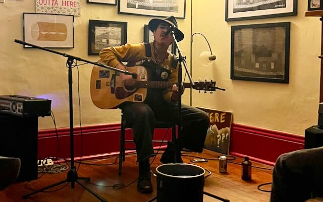
Next door to St. Pizza yesterday I passed a sign about live music at Nola ‘Nacular, half of a shotgun house. I bicycled back there at night on my green 1970’s Schwinn Typhoon. Someone named Dusty Santamaria played original and better than expected Dylanesque songs. The music was free but I left a decent tip.
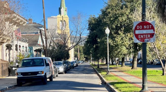
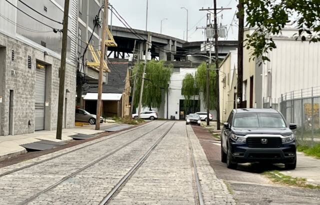
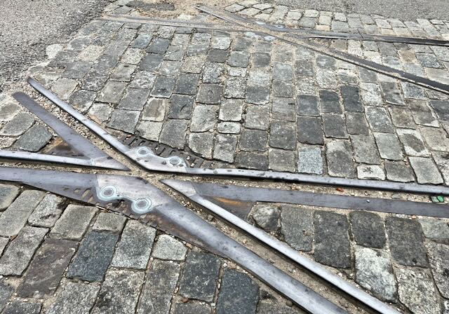
Turning the corner now from Magazine Street, Erato Street heads towards the river with old streetcar tracks on cobblestones.
A closeup with the bridge in the back center.
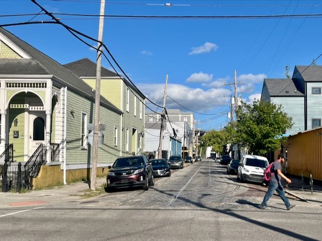
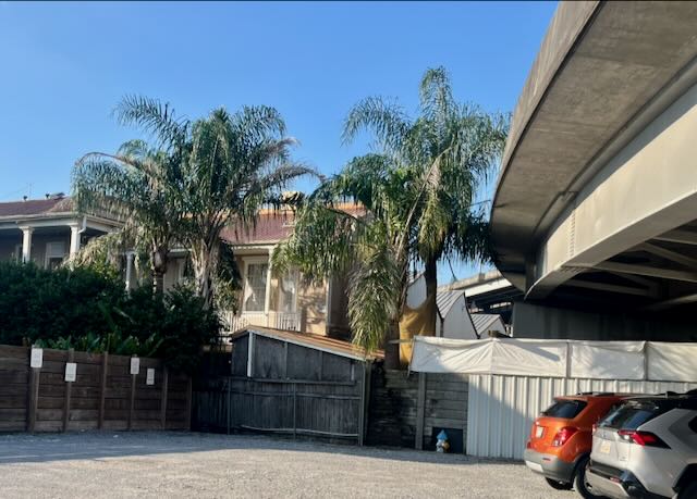
Amazingly, the next street Constance boasts even near the bridge a lovely shaded neighborhood. Back in the 1980’s this area was scary because of perceived crime. No longer.
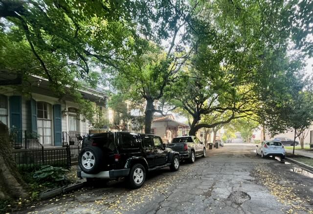
Constance Street dead-ends at the freeway.
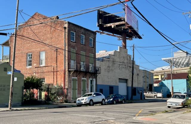
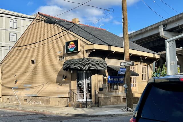
One block FURTHER towards the river is Annunciation Street. In the center of the photo below is an almost certainly pre-1860 building sitting practically underneath the roaring freeway. It contained a bakery a year ago, now it is Kelly’s Bar.
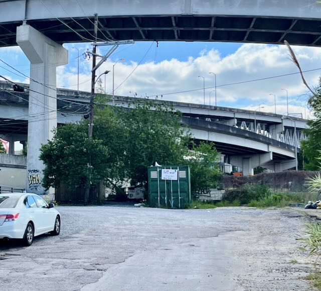
Across Annunciation Street towards the river a dead end gravel path at first glance appears like the site of the New York City drug deal in The French Connection.
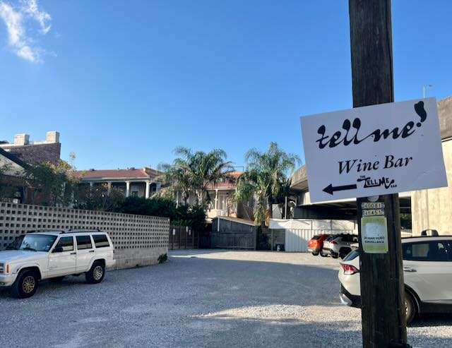
Turning left at the dumpster leads to; what else, the fancy Tell Me Wine Bar surrounded by historic buildings, some almost touching the on-ramps.
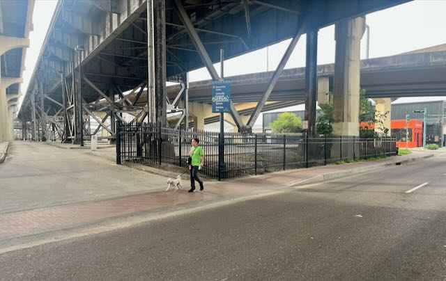
Especially on Camp or Magazine people can and do walk casually under this enormous highway.
There is life on the downtown side of the highway as well, including Magazine Pizza.
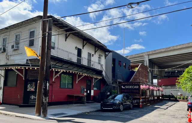
Less than a block away, where Constance Streets starts up again after the highway is a bar called the Rusty Nail. They recently added an upscale enclosed outdoor courtyard called Sidecar which serves select raw oysters. We found it touristy but attractive. The best oyster deals are during Happy Hour.
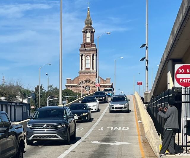
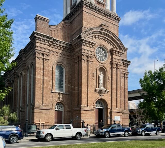
Six or seven blocks in the “away from the river” direction and alongside the highway sits what our pious handyman calls the “cathedral by the freeway.” The neighborhood here is less upscale and there is a major homeless shelter across the street. The St. John the Baptist Church, from 1851 and still a functioning Catholic parish, is said to have among the prettiest stained glass windows in the city.
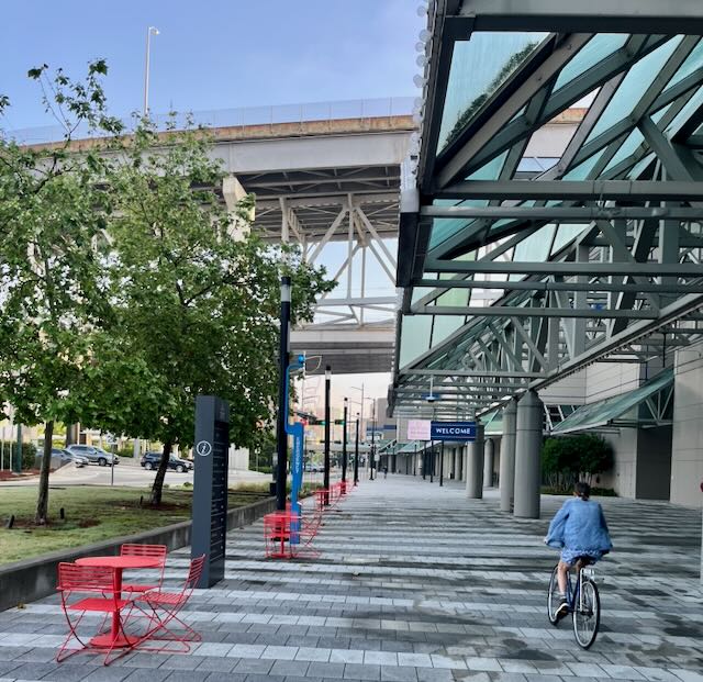
In the other direction, the New Orleans Convention Center is more than a mile long as it lines the Mississippi River including passing under the bridge. Its sidewalk is one of Tootie’s and my favorite cycling routes from our home to the French Quarter.
There is indeed life under the bridge!

Leave a comment