For my regular readers I have a couple of news items: Many of my blog posts feature the white 2005 Toyota Prius that I inherited from my late mother Eleanor. Thankfully just AFTER I recently finished driving the Prius 900 miles each way from North Carolina to New Orleans and back: the main battery failed. It needs to be replaced at a cost of thousands of dollars. We are examining our options; it might be time to replace the car.
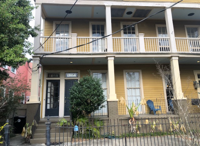
The other item is that Tootie and I have purchased a second home, a one bedroom condo in a historic house in the Lower Garden District of New Orleans.
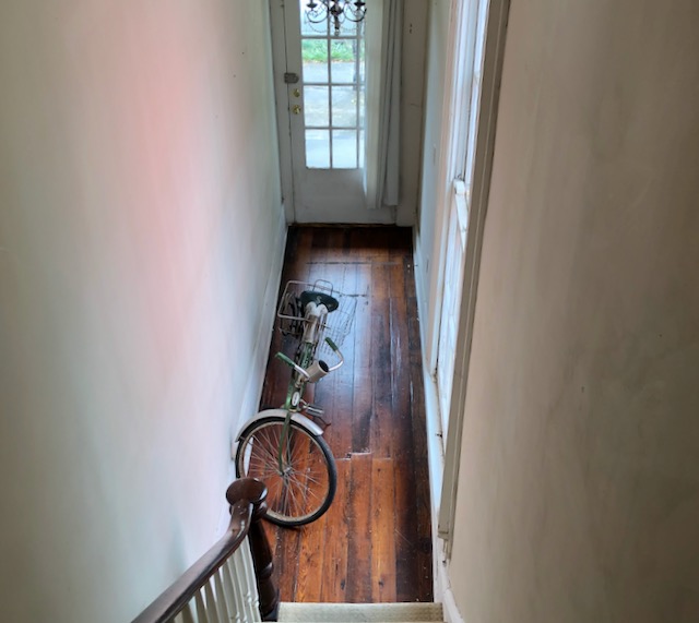
By myself I drove the Prius down from Chapel Hill to New Orleans, one way twelve or thirteen hours, done over two days. My mission was to get the apartment down there set up, to have a bed and sofa brought in, to get the internet working. While there I had time to do some bike riding.
Most side streets of New Orleans are insanely bumpy from potholes and their slipdash repairs. I have kept a 1970’s fat tired Schwinn Typhoon down there for several years at my friend Kirk’s place. I really enjoy cycling through the New Orleans residential streets but even on that bomber bicycle one finds oneself looking not for the shortest route but the smoothest pavement. I used the Schwinn to bicycle back and forth to grocery stores and the Walmart and Harry’s Ace Hardware, picking up items to set up our new household.

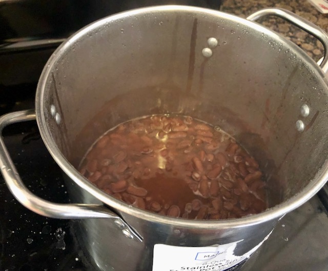
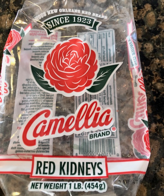
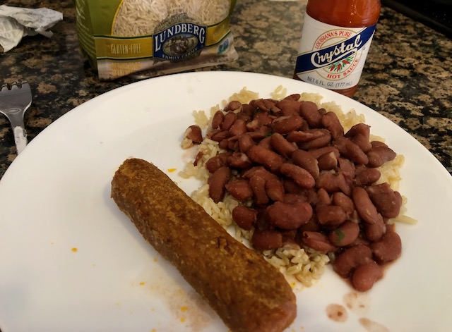
I bought a cheap pot at Walmart and made some red beans; a New Orleans favorite. I don’t go all-health all the time, but on this day I chose brown rice and Beyond Meat sausage, with New Orleans’ own Crystal hot sauce, and (not pictured) some stir fried curly mustard greens.
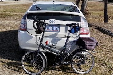
I enjoyed biking around the city on the Schwinn. For longer rides I had brought along my Bike Friday. With tiny twenty inch wheels it is deceptively fast. Over three days on the Bike Friday I did three thirty plus mile bike rides.
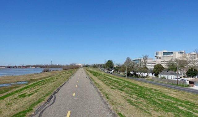
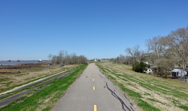
Metro New Orleans is surrounded by levees. Governments have gotten it together in recent years and put paved paths on many or most of these levees, they make for perfect bike paths. On the first day I cycled about ten miles on New Orleans city streets before I reached the paved path that follows the levee fronting Lake Ponchartrain. The path starts in New Orleans before passing along the Metairie lakefront in neighboring Jefferson Parish.
The levee is so high you cannot see the houses in the city behind it.
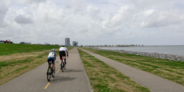
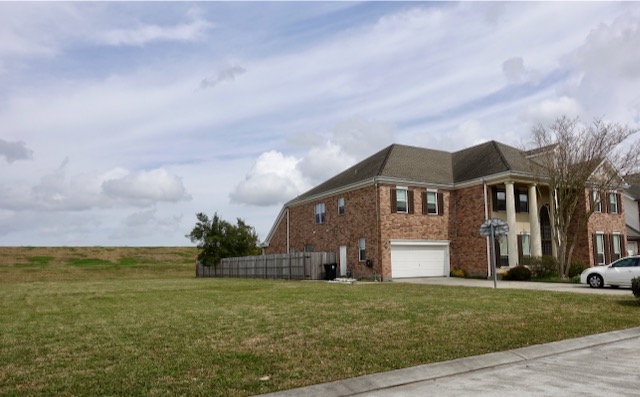
Suburban Metairie residents clearly pay extra for waterfront property fronting Lake Ponchartrain, but one cannot see the lake as the levee is too high!
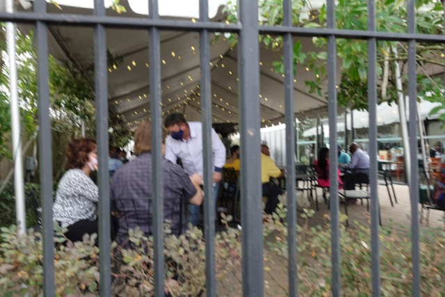
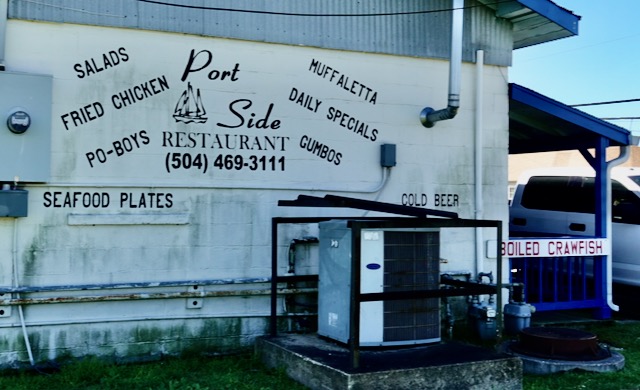
There is a reason this coronavirus will not away, some people are not trying hard enough to beat it. Dining at restaurants works if people eat outdoors. It was a reasonably warm day with temperatures in the sixties. I had heard there were good oyster poor boy sandwiches at R&O’s in Bucktown, lakefront near the Metairie / New Orleans line. I passed by there about 11:00 AM and there was a huge outdoor seating area with lots of empty tables. Satisfied that this looked safe, I continued biking along the lakefront all the way to Kenner and back, returning to R&O’s about 1:00 PM, ready for a great outdoor lunch. These outdoor tables were now all filled, but filled with people waiting for a table at the INDOOR restaurant. Apparently R&O will not let you eat outdoors, which is insane. I biked on.
Dejected and hungry, I bicycled back the hourlong ride through the city back to my condo for leftover red beans and rice.
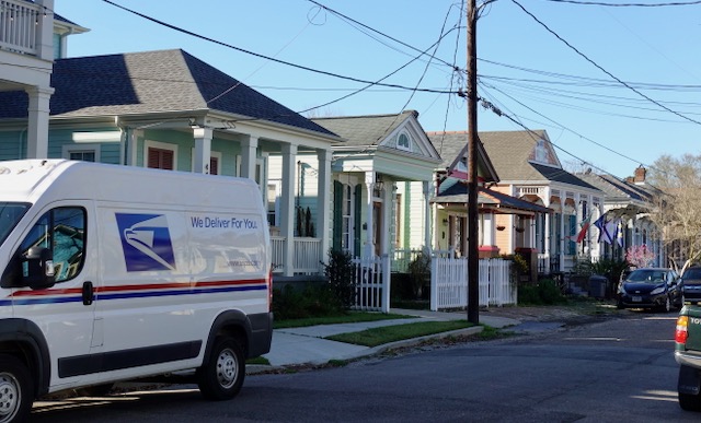
That night I bicycled around my new neighborhood, the Lower Garden District. Our condo is only one block from Urania Street, the first in of a row of nine streets in New Orleans all named after Greek muses. (Urania/Polymnia/Euterpe/Terpsichore/Melpomene/Thalia/Erato/Clio/Calliope.). Near where my friends Tom and Steve had lived in the 1980’s there is a statue of Terpsichore. It was a dicey neighborhood back then, it has gotten safer in the past thirty-something years.

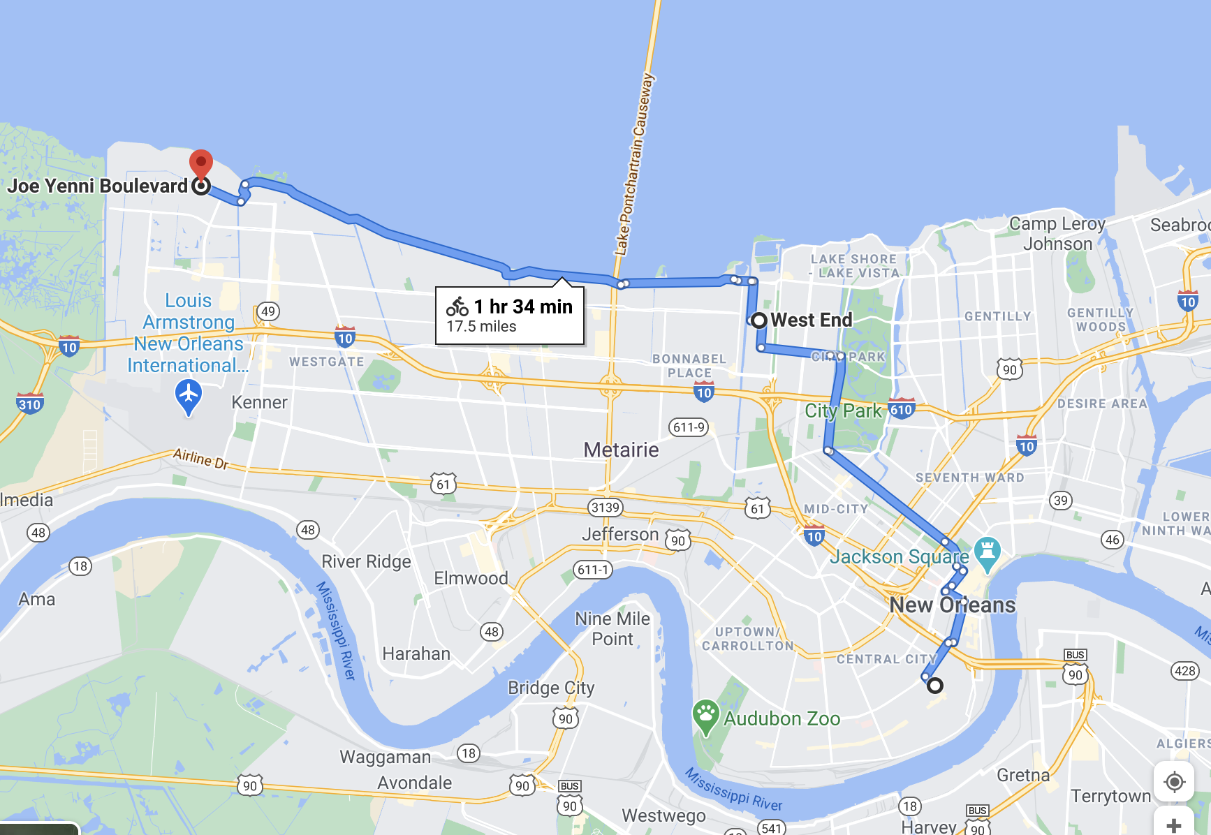
A couple of days later I cycled on a different levee. Starting in Uptown New Orleans near Audubon Park one can now cycle continuously on the Mississippi River levee about thirty miles upriver towards Baton Rouge. I first had to cycle on the streets through four or five miles of continuous older city, mostly nineteenth century wooden houses. Even poorer neighborhoods in New Orleans are stunning to look at.


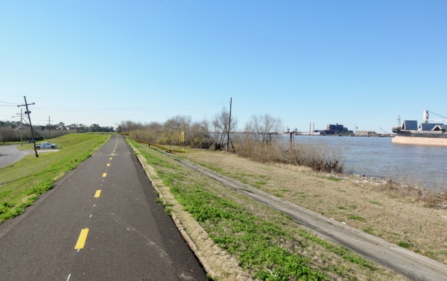
I joined the Mississippi levee path near the Riverbend Carrollton area of Uptown New Orleans. I have been following this bike path for years and only recently has it been so complete. You can now bicycle on a smooth paved path along the Mississippi River for over thirty miles upriver, starting in Uptown’s Audubon Park, then into Jefferson Parish, past Kenner upriver all the way to Norco.
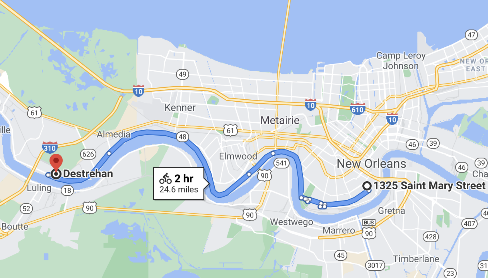
On this day I set my goal as the Luling/Destrehan Bridge, about twenty-five miles each way. In many areas the river is obviously at a higher level than the land surrounding it.
There were indeed a few places to eat and drink within sight of the path, but this one had no outdoor seating even on this sunny day. I did not stop, I had carried a peanut butter sandwich which I ate while cycling.,

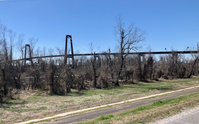
Twenty something miles out I arrived at the Hale Boggs Bridge over the Mississippi. The bridge was completed in 1983.
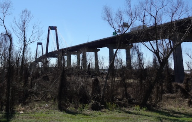
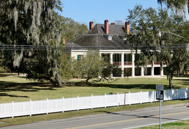
Almost underneath the bridge and right next to the levee is Destrehan Plantation house, from 1790.
I turned around and cycled back towards New Orleans.

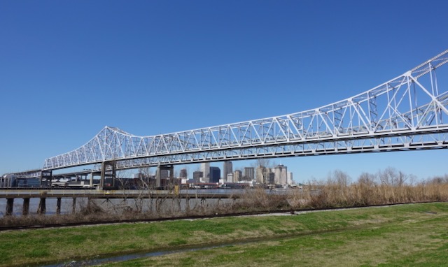
On the way back I passed back underneath that other Mississippi River bridge, the Huey Long Bridge, opened in 1935. The buzz is that Huey Long hated the big city of New Orleans so much that he insisted the bridge be built not in New Orleans but about ten miles upriver.

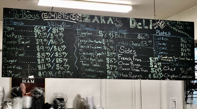
That night back in the apartment I had a to-go roast beef po-boy from Zara’s, a small supermarket Uptown.

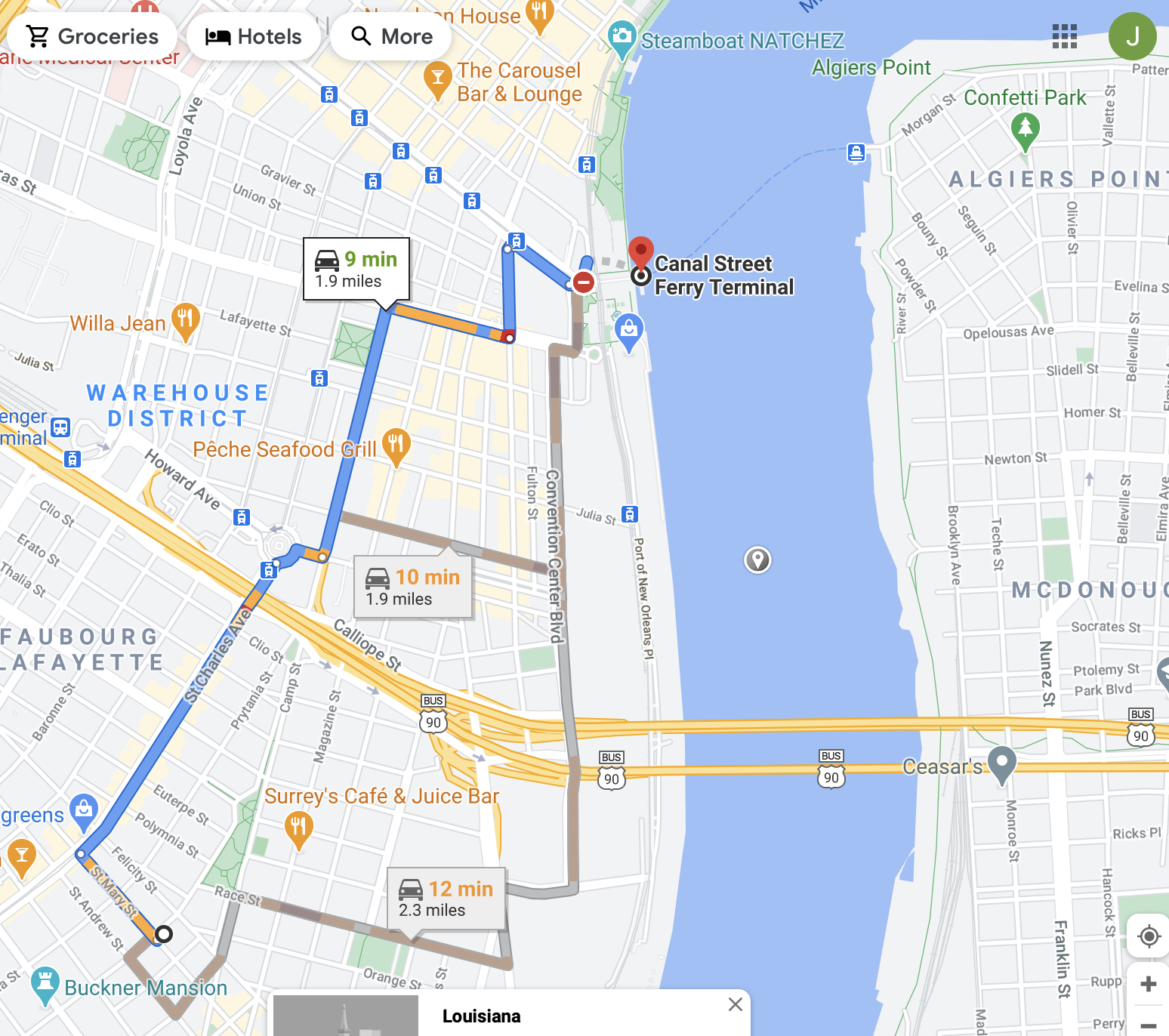
I did one final ride the next day, this time on The West Bank. There has always been a ferry across the Mississippi from the foot of Canal Street near downtown and the French Quarter. The ferry is now smaller and faster than before as it now takes only pedestrians and bicyclists. The area across the river from downtown is called Algiers.

Most of the West Bank of metro New Orleans is suburban sprawl but a few areas of the West Bank mimic the “real” New Orleans, with 19th century wooden neighborhoods. This is especially true in the older part of Algiers, called Algiers Point.
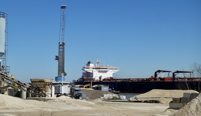
The West Bank of the Mississippi has a nice paved path along the levee, where you can watch the ships coming into New Orleans.
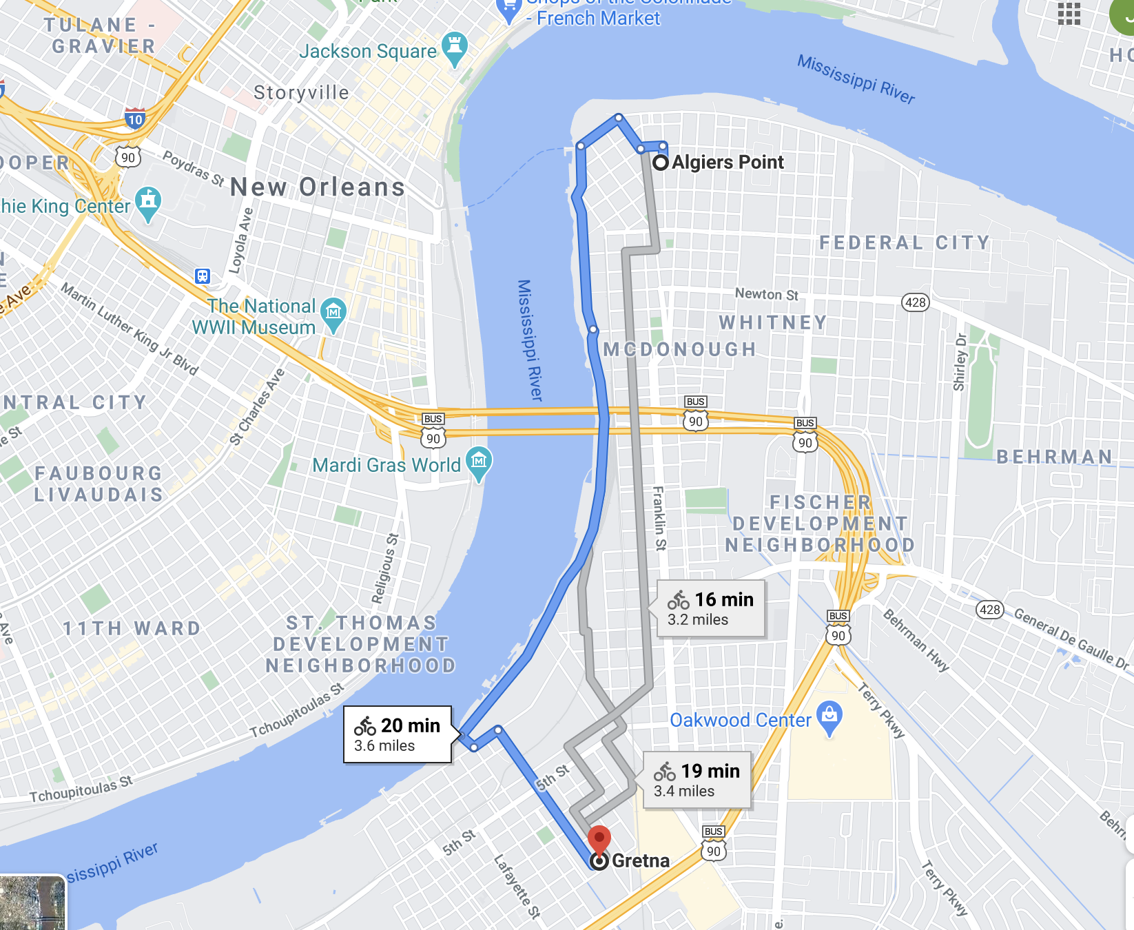
A few miles upriver from Algiers is Gretna, which developed back when there was the Jackson Street Ferry from Uptown New Orleans. Gretna also has a small 19th century residential neighborhood.

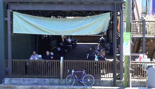
I found the River Shack in downtown Gretna, a bar / restaurant with outdoor seating during a pandemic. For once I was comfortably able to sit down and enjoy a restaurant lunch, in the breeze. I would have gotten the oyster po-boy, but they only had one size, large, and that kind of sandwich does not travel well. I instead got the small cheeseburger with fries, and a beer. It was all delicious.
I spent the rest of the afternoon biking around suburban areas of the West Bank before riding back to Algiers and taking the ferry back to central New Orleans, and then biking back to my new (second) home.

Leave a comment