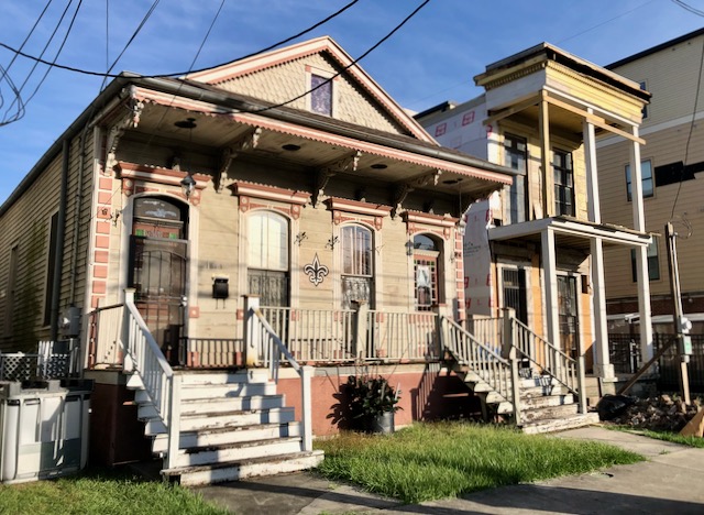
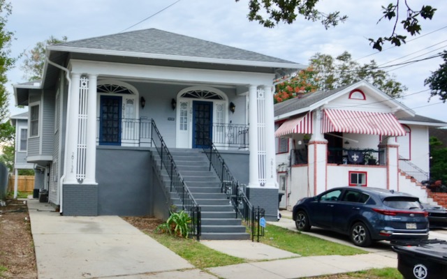
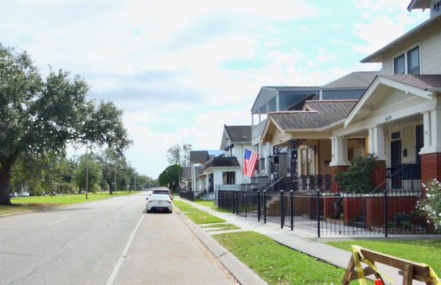
Tootie and I drove down to our New Orleans second home on about October first and we stayed the whole month. It has been wonderful walking around every morning in our Lower Garden District neighborhood, all these amazing buildings within a hundred yards of our front door. To me it is paradise.
We rarely used our car. Both of us bicycled to and from the grocery store. Several times we bicycled to restaurants at night.
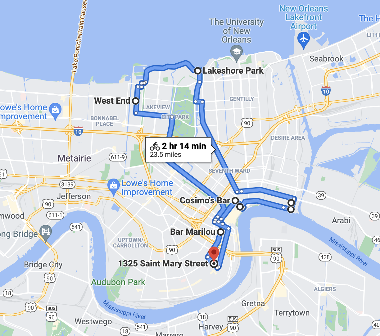
I felt a compulsion to bike ride more, to see the whole city! Just about every day that we were in New Orleans I bicycled for two to four hours. On the final day I brought my camera along. Almost all these rides were on the Surly Long Haul Trucker that I now keep in New Orleans. I still don’t really like the heavy feel of that bicycle but I use what I have. This bicycle does feel stable on these terribly bumpy and decrepit streets. This day I left our condo on St Mary Street at about eight in the morning, snapping pictures as I rode.
Directions in the older parts of New Orleans make little sense speaking north or south. They are better described as upriver (uptown) or downriver (downtown). Cross streets go towards the river or away from the river. The three or four hour bike ride I took shown below covered a large portion of New Orleans but by chance mostly excluded Uptown. Other than the French Quarter, Uptown is the area most visitors think of when visiting New Orleans. It is the area in the bottom left on the map below, between Saint Mary Street and Audubon Park. Tulane University is next to Audubon Park. I cycle through Uptown frequently, just did not on this particular day.
I left our condo building.
St Mary Street is a one way street going away from the river. I biked a block and a half towards Prytania Street.
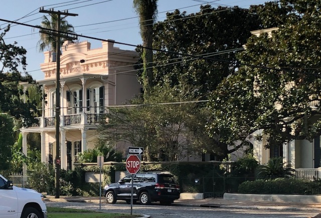
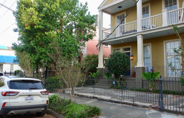
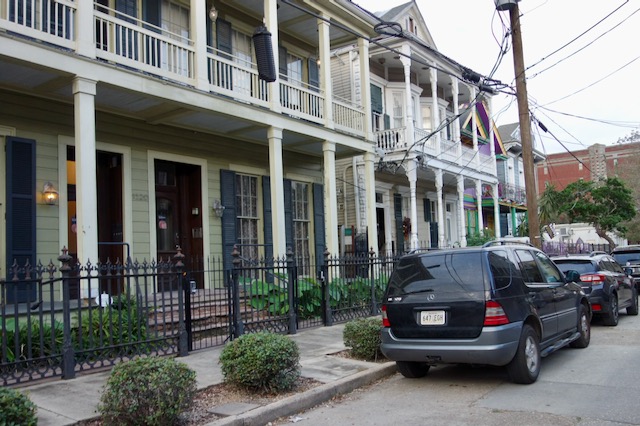
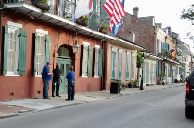
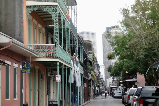
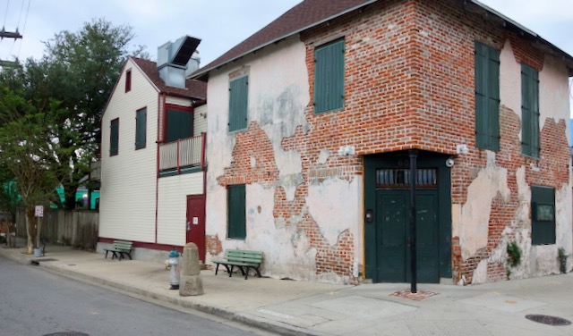
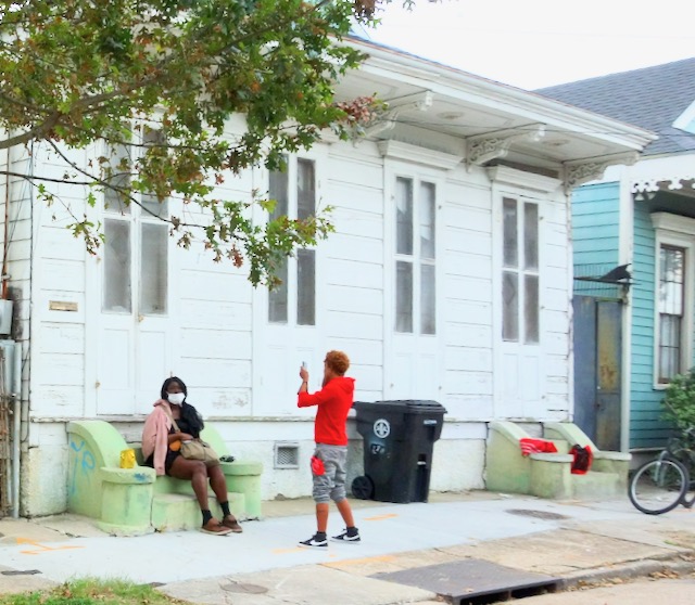
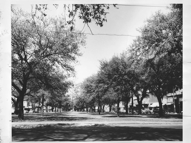
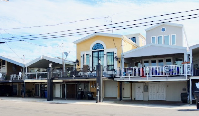
The 1400 block of St Mary Street is by New Orleans standards a somewhat typical block but there is still lots to look at.

I crossed Prytania Street, it was one block further to St. Charles Avenue
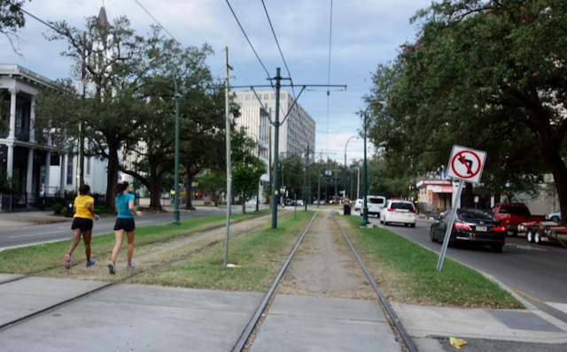
I had only bicycled two and a half blocks; I crossed over St. Charles Avenue with its famous streetcar on the neutral ground. The tracks are a popular place for jogging.
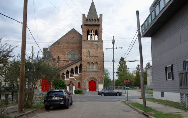
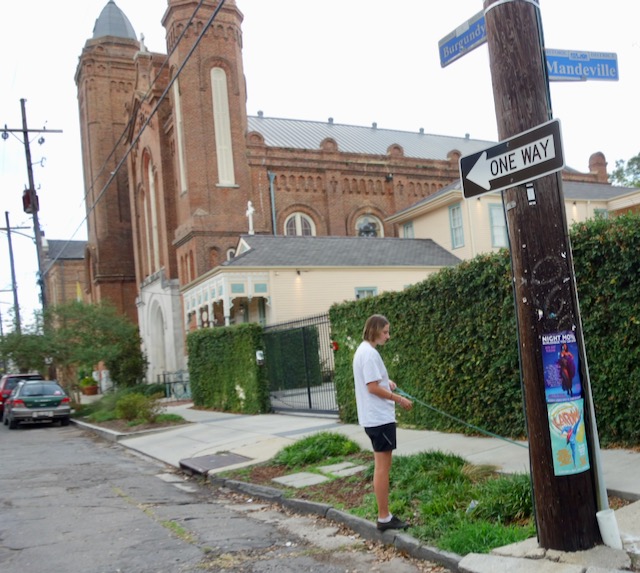
It was only one block further past St. Charles Avenue where St Mary Street dead ends at a church on Carondelet Street.
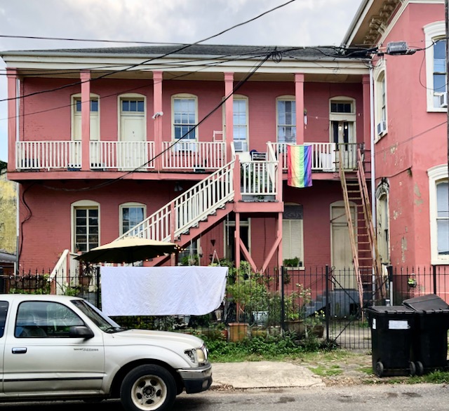
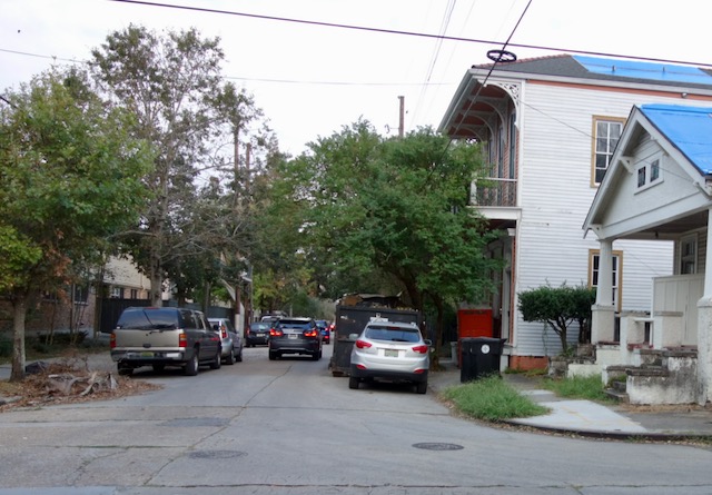
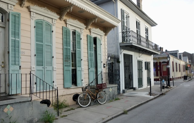
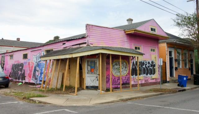
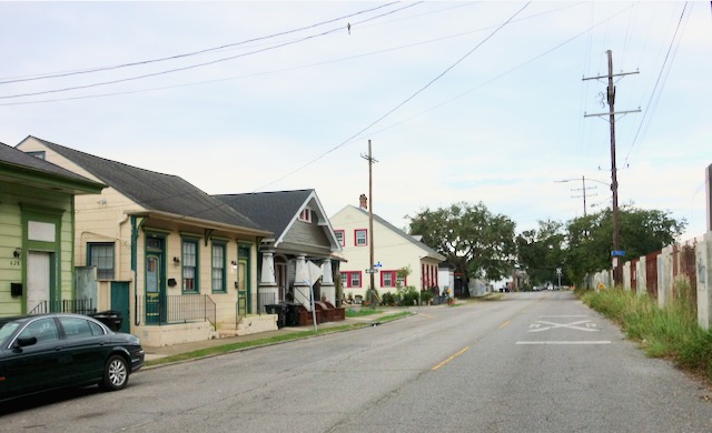
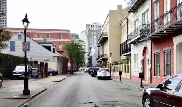
I turned right on Carondelet Street. It may change names but Carondelet Street continues about five miles from here all the way downtown through the Central Business District, the French Quarter, Faubourg Marigny, and Bywater. Traditionally this side of St. Charles it is a rougher and poorer neighborhood. It has been gentrifying.
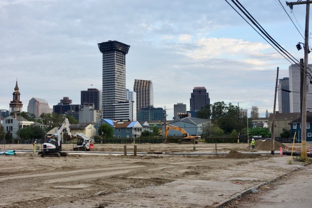
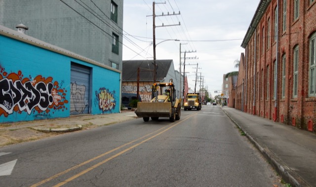
Cycling two blocks further downtown on Carondelet Street a former milk processing factory was just torn down and trucks were clearing the site for redevelopment.
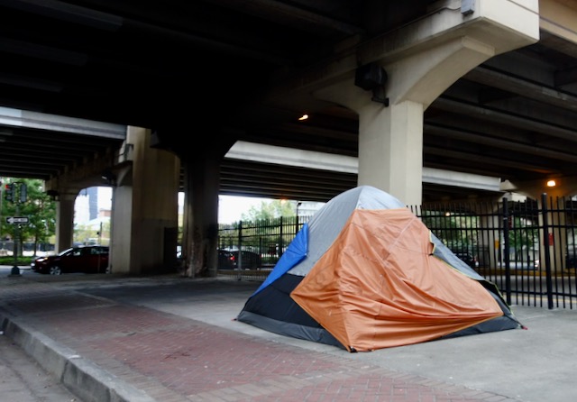
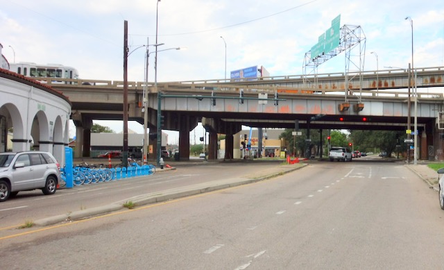
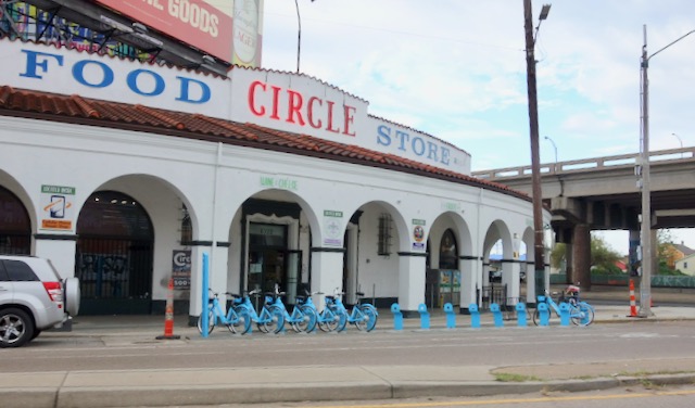
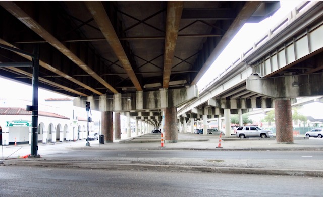
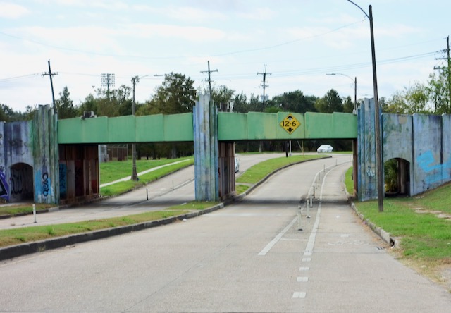
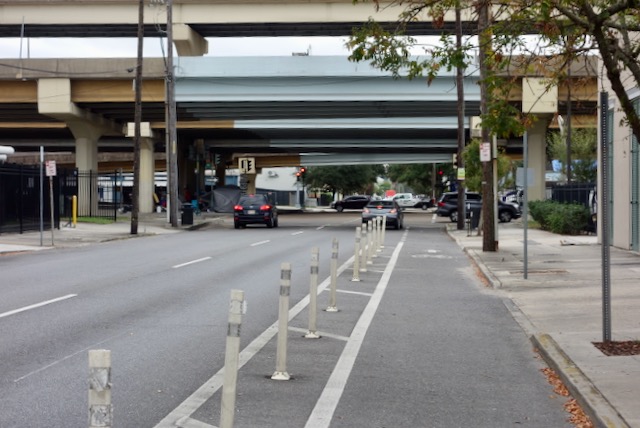
Six or eight blocks further Carondelet Street passes under a freeway. Dozens of homeless people have moved underneath the overpass.

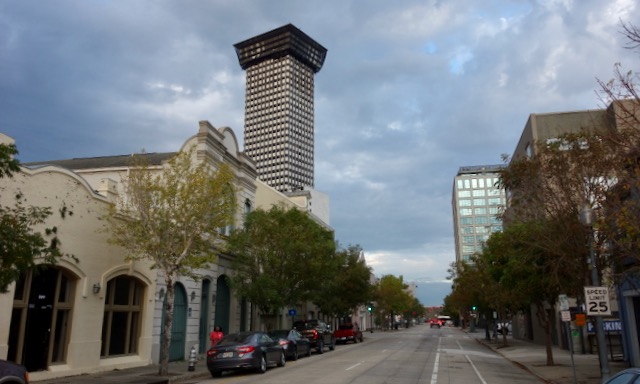
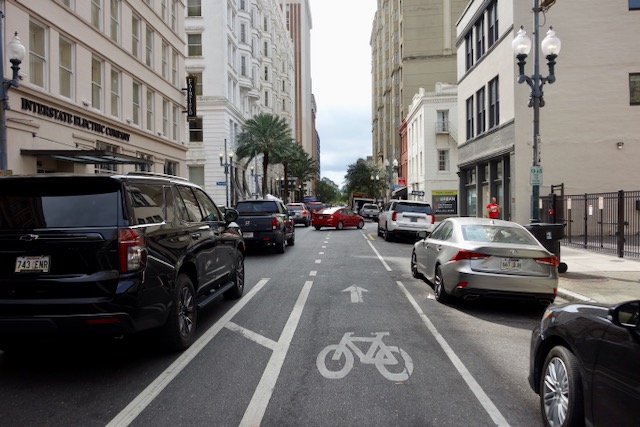
Now cycling in the Central Business District I could look again at the forty-five story skyscraper formerly known as Plaza Tower. It must have seemed like a good idea when it was built in 1968 but it has been abandoned since 2002. It is in a difficult location and rehab efforts have failed. I still like its style. Its top floors are currently wrapped, presumably to keep debris from falling.
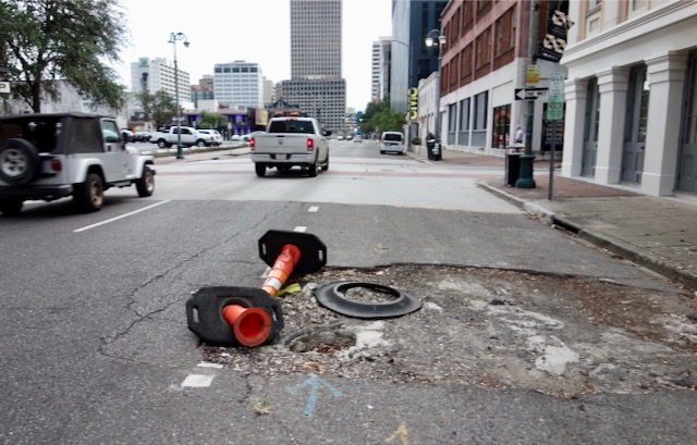
City bicycling in New Orleans is wonderful but one does need to keep one’s eyes affixed to the road. Potholes are everywhere.
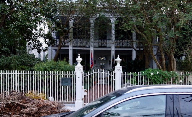
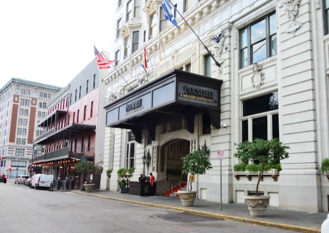
I passed by the entrance to the swanky Roosevelt Hotel.
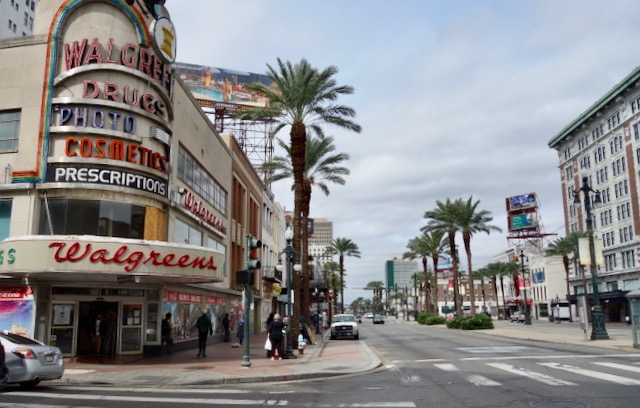
I bicycled across Canal Street, formerly the main downtown shopping street. Its retail is struggling.
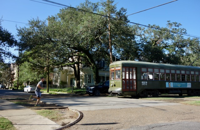
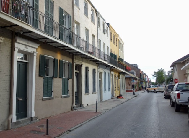
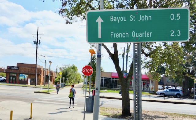
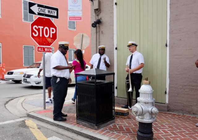
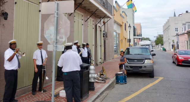
Downriver across Canal Street is the French Quarter. Burgundy Street through the French Quarter is an excellent street to bicycle on. There are almost no bumps or stop signs.
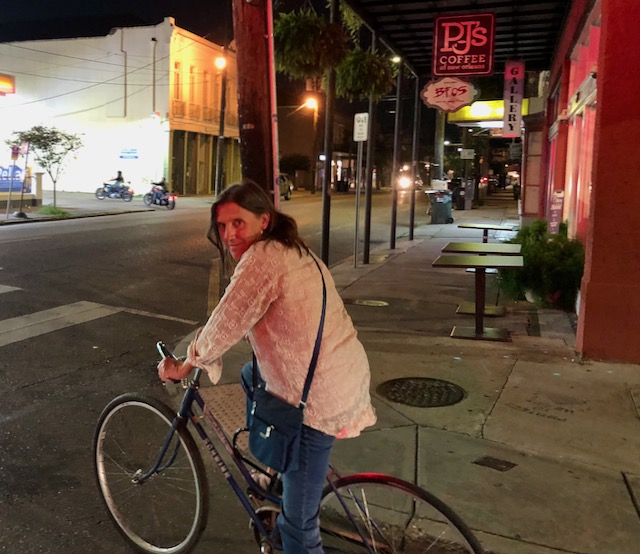
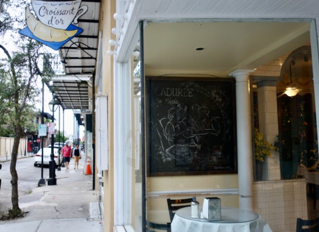
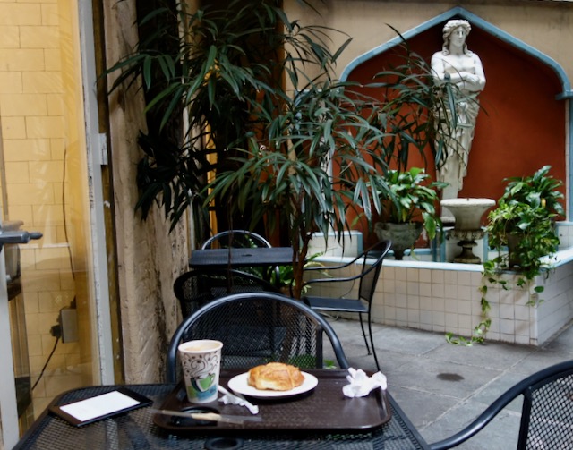
The French Quarter gets less touristy the further downriver one goes from Canal Street. During this month of October I had been bicycling to coffee houses all over New Orleans searching for the perfect croissant. Disappointingly, nowhere in New Orleans had a croissant as crispy as those at Foster Street Coffee in Durham NC. The Croissant D’or on Ursulines Avenue in the lower French Quarter came close, and it was nice to sit in its courtyard eating my croissant with an almond milk latte, one pack sugar.
I got back on the bicycle and headed out.
I cycled about three miles further downtown, out of the French Quarter, through Faubourg Marigny and then into Bywater, also known as the Ninth Ward.
I turned around at Poland Avenue where Bywater ends at the Industrial Canal.
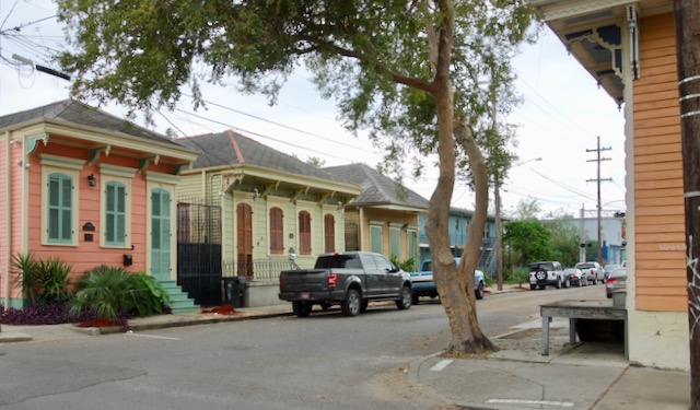
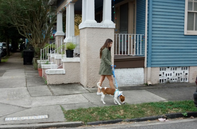
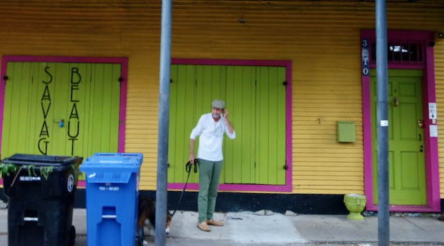
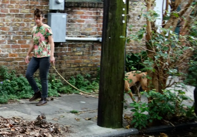
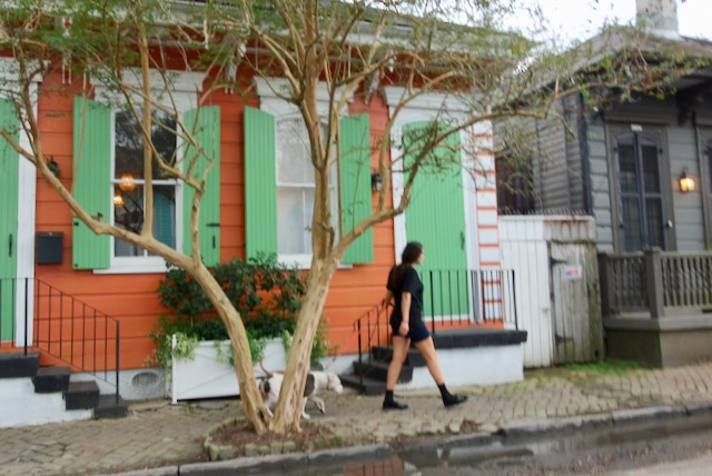
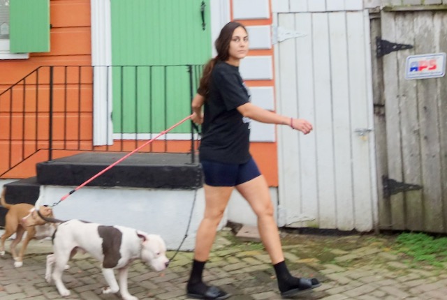
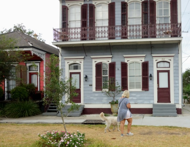
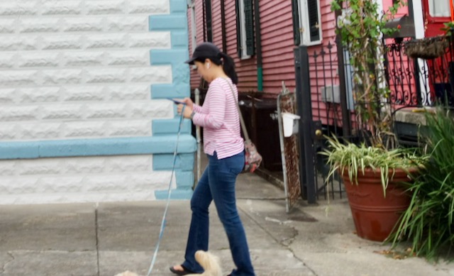
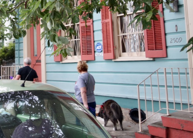
I bicycled back uptown in the direction I had come from but now three blocks over, on Burgundy Street, back through Bywater and Faubourg Marigny. There seemed to be a lot of dog walkers.
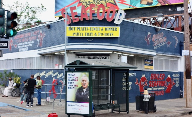
I crossed St. Claude Avenue and headed out St. Bernard Avenue, through an area tourists rarely visit; the Seventh Ward.
Heading out St. Bernard Avenue I soon crossed South Claiborne Avenue, a street famous among American urbanists as one of many places where the 1960’s exuberance to build the Interstate Highway System lost its moorings. South Claiborne was and is a center of African-American commercial life in New Orleans. I-10 replaced South Claiborne Avenue’s oak trees with a freeway. The pre-1960 supermarket is still here.
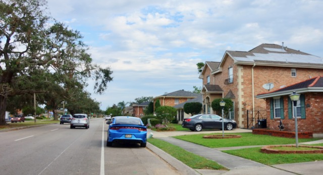
There are current serious proposals to tear down this section of I-10, but as with most such things, it is complicated. Meanwhile, I cycled under the freeway and resumed cycling on St. Bernard Avenue, which is wide and relatively safe for bicycling. St. Bernard Avenue continues for five miles, all the way out to the Lake Ponchartrain lakefront. The further from downtown one gets the newer the buildings become.

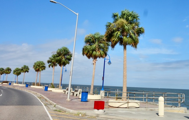
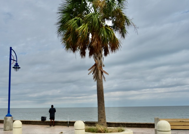
New Orleans has its own beachfront, albeit on a concrete beach that almost no one swims from. (Lake Ponchartrain is brackish and extremely shallow; difficult to keep clean.) It does make for a pleasant bike ride.
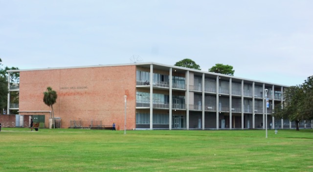
UNO is on the lakefront with its Modernist style campus. I needed a bathroom so I impersonated a student by walking into one of the classroom buildings.
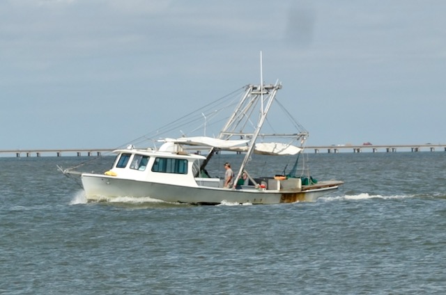
I bicycled along the lakefront over to West End where hundreds of pleasure boats are moored.
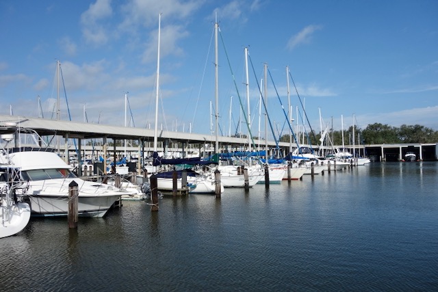
Facing the West End yacht harbor are lines of “boat houses”, a fancy spot to hang out in while you stare at a vessel moored in your living room.
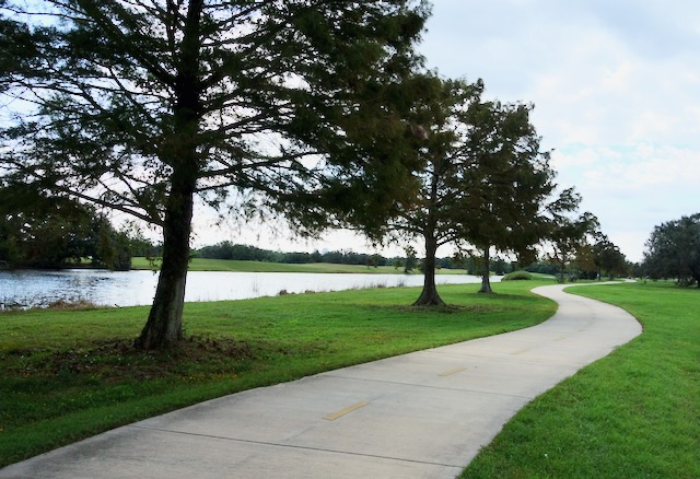
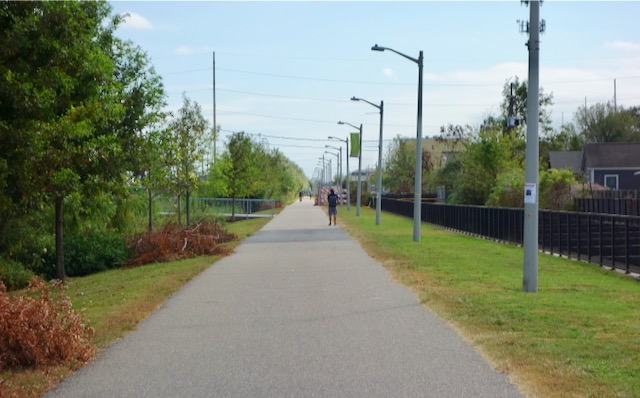
I started cycling back home, this time through City Park; an enormous piece of land stretching southward from near the Lakefront, originally with four golf courses and two stadiums, including the one where the Beatles played in 1964. City Park was almost all inundated during Hurricane Katrina in 2005 but has been slowly rebuilt and re-defined. Its current sculpture garden is one of the best anywhere. Along Marconi Drive on the west side of the park there is a newish bike path, one of many bayous on my left.
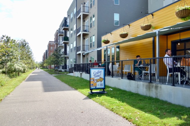
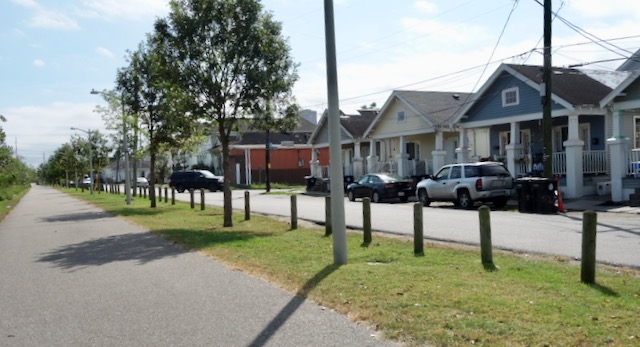
I was by now very close to one end of the Lafitte Greenway, which stretches almost three miles from near a corner of City Park to the French Quarter. Those who lived and bicycled around New Orleans with me back in the 1980’s would not believe the dramatic change the Greenway has brought to cycling in New Orleans. The Greenway crosses an area of town that none of us ever thought about, or if we thought about it, we thought it as dangerous slums we could never visit.
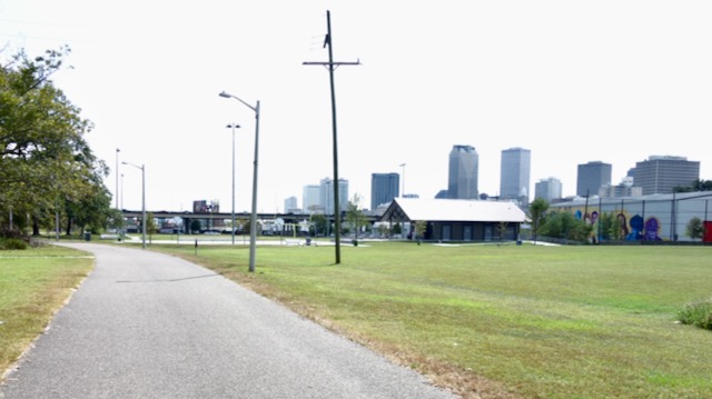
The Greenway ends at Armstrong Park. I cycled across Basin Street and Rampart Street, then into the French Quarter.
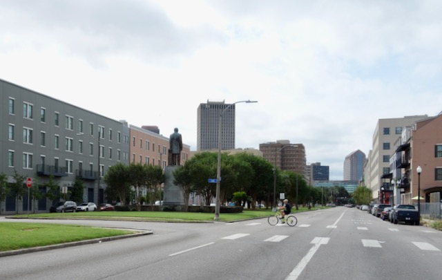
It was less than two miles through the city back to my condo building on St Mary Street.
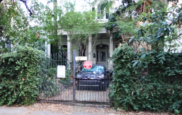
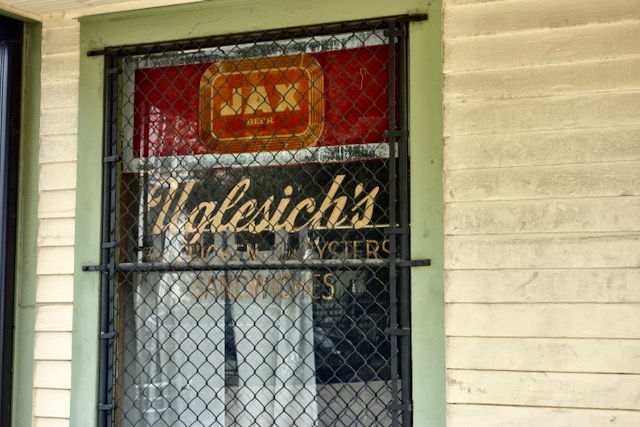
On Baronne Street in an even now sketchy area I passed by the building of the late great Uglesich’s oyster bar, open for eighty-one years until 2005.
I took a left off Baronne Street onto St. Andrew Street, my home on St. Mary Street was only three or four blocks away.

Leave a comment